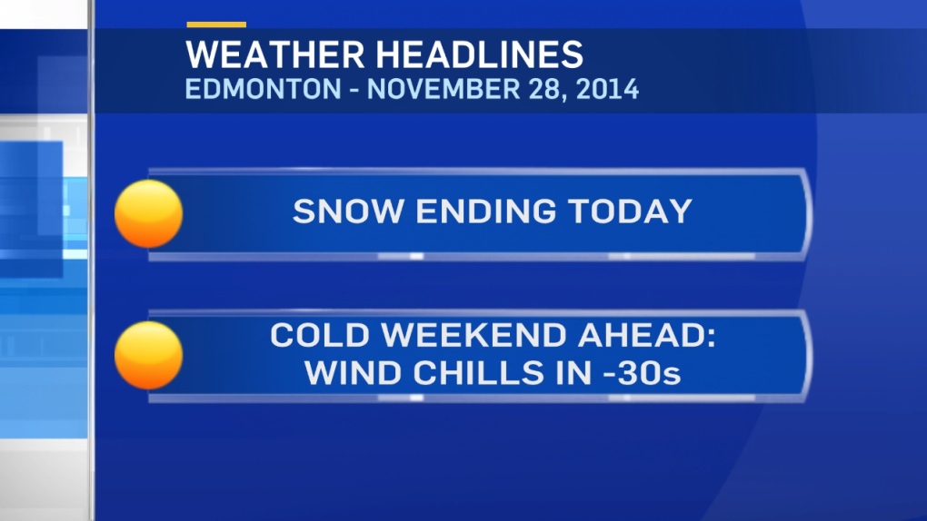
The snow continues in the Edmonton area this morning, but the end is in sight.
By midday, the flurries will taper off.
There may still be a few flakes this afternoon, but the accumulating snow will be pretty much done by Lunch.
At that point, we'll have about 25cm of snow on the ground in the City.
And that'll bring us to a November snow total of 35cm.
Last year, we had 50cm of snow in November.
Further west, many areas are reporting 40-50cm of snow since Wednesday night!
Conditions will gradually improve from NW to SE across the province today & tonight.
A further 5-10cm is possible in parts of E & S Alberta.
By tomorrow, the sun's out and the arctic air settles in.
Wind chill values will be in the -30s for much of Central & Northern Alberta today & Saturday.
Morning temperatures in many areas will slip into the -25 to -30 range this weekend.
All it will take is a 10-15km/h wind to kick in a wind chill near -40.
Here are your frostbite risks:
Wind Chill -28 to -35 = 15-30min to frostbite
Wind Chill -35 to -40 = 5-15min to frostbite
The arctic air sticks around through the weekend but starts to move out early next week.
By the end of next week, daytime high will return to the 0 to -5 range.
Here's the Edmonton forecast:
Today - Snow tapering off. Mostly cloudy this afternoon.
Wind: NW 15-20
Temperature falling to -22
Wind Chill in the -30 range all day
Tonight - Mostly cloudy.
Wind: N 15km/h
Low: -26
Wind chill near -35 overnight & early Saturday morning
Saturday - Clearing in the morning. Sunny in the afternoon.
Wind: W 15-20km/h
High: -21
Wind chill in the -30 range most of the day
Sunday - Mainly sunny. Wind: W 10-15km/h
Morning Low: -26 (wind chill near -35)
Afternoon High: -19 (wind chill near -30)
Monday - Partly cloudy.
Morning Low: -23
Afternoon High: -14
Tuesday - Partly cloudy.
Morning Low: -20
Afternoon High: -12
Wednesday - Increasing cloud.
Morning Low: -18
Afternoon High: -8
Advertisement
AFTER THE SNOW...THE CHILL SETS IN - November 28, 2014
CTV Edmonton
Published Friday, November 28, 2014 8:11AM MST
Published Friday, November 28, 2014 8:11AM MST
