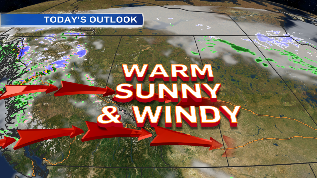
Drier, windy & mild for the next few days.
The forecast called for a bit of everything over the long weekend & that's exactly what most areas received.
Edmonton had mid-20s heat Saturday...gusts over 80km/h Saturday night...some rain Sunday & part of Monday.
And...we still managed to hit highs of 15 Sunday & Monday.
As a "flatter" Upper Level pattern holds up for a day or a two...we get some more mild temperatures AND a bit more wind.
When the jetstream is arching north, we call it an Upper Ridge.
When the jetstream curves south, it's an Upper Trough.
But...when it pretty straight from west to east, that "flatter" is pattern referred to as a ZONAL flow.
So, we're in a zonal pattern aloft with a Ridge set to build in later this week.
At the surface, a High Pressure System will drift across the area tomorrow & Thursday.
That'll keep us fairly clear & dry. It also help kill off the wind tomorrow afternoon.
Gusts are exected to be around 50km/h this afternoon & tomorrow morning.
By tomorrow afternoon, the wind dies down.
Aloft, the Upper Ridge should move in Friday & peak on Saturday.
It's not the strongest ridge. Highs are only expected to climb a couple degrees.
The long-range outlook keeps daytime highs in the 10-15 range right through to the end of next week.
Here's the Edmonton forecast:
Today - Mainly sunny.
Wind becoming W 30 gusting to 50km/h this afternoon.
High: 15
Tonight - A few clouds.
Wind easing overnight.
Morning Low: 4
Wednesday - Sunny with a few clouds.
Wind: W 20 gusting to 50km/h in the morning. Calming in the afternoon.
High: 13
Thursday - Partly cloudy.
Morning Low: 1
Afternoon High: 13
Friday - Mix of sun & cloud.
Morning Low: 4
Afternoon High: 14
Saturday - Partly cloudy.
Morning Low: 5
Afternoon High: 16
Sunday - Mix of sun & cloud.
Morning Low: 5
Afternoon High: 16
Advertisement
BREEZY & MILD - OCTOBER 13, 2015
CTV Edmonton
Published Tuesday, October 13, 2015 7:37AM MDT
Published Tuesday, October 13, 2015 7:37AM MDT
