It's a snowy start to Thursday for areas south, west and NW of Edmonton.
Spots like Leduc, Camrose, Lake Wabamun and Onoway are all showing snow on the 511 highway cameras.
In the City of Edmonton (and St Albert, Spruce Grove, Sherwood Park), nothing more than a few flakes in a couple spots.
Further NE - Highway 63 is snow-covered south of Fort McMurray all the way to Grassland.
Here are some of the other snow highlights (from ECCC):
Athabasca: 12cm
Conklin: 12cm
Grande Cache: 20cm
Kananaskis: 7cm
Lake Louise: 12cm
Slave Lake: 28cm
Whitecourt: 16cm
(all of those snow totals are valid as of 9pm Wednesday night)
We'll continue to see an area of snow in the foothills through the day today.
There's still snow flying near Lake Wabamun and THAT might persist for a few more hours.
The Bonnyville/Cold Lake region is getting some heavier pockets of snow at 7am.
That snow will taper off this afternoon.
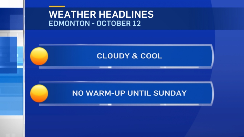
In the Capital Region - Another chilly day with some sunny breaks this afternoon.
It'll stay cool Fri/Sat and then start to warm up Sunday (back to a high near 10).
Daytime highs will be in the 10-15 range next week.
Here's the Edmonton forecast:
Today - Cloudy with a few flurries in the area this morning.
Cloudy with sunny breaks this afternoon.
High: 3
Evening - Mostly cloudy.
9pm: 0
Friday - Mix of sun & cloud. Slight risk of a few flurries late-afternoon/early-evening.
Morning Low: -4
Afternoon High: 4
Saturday - Mix of sun & cloud.
Morning Low: -1
Afternoon High: 6
Sunday - Mostly cloudy. Slight risk of showers in the morning.
Morning Low: 0
Afternoon High: 10
Monday - Partly cloudy.
Morning Low: 2
Afternoon High: 11
Tuesday - Mostly cloudy. 30% chance of showers (especially early in the day)
Morning Low: 1
Afternoon High: 13
Advertisement
CHILL STICKS AROUND - OCT 12
CTV Edmonton
Published Thursday, October 12, 2017 8:34AM MDT
Published Thursday, October 12, 2017 8:34AM MDT
