Monday's heat turned to late-night storms in northern parts of the Capital Region. Areas north of Edmonton had heavy rain, large hail and gusts near 100km/h were reported in a few spots. CFB Edmonton had a max gust of 100km/h. The Blatchford weather station reported a gust of 85km/h. EIA had a peak gust of 61km/h.
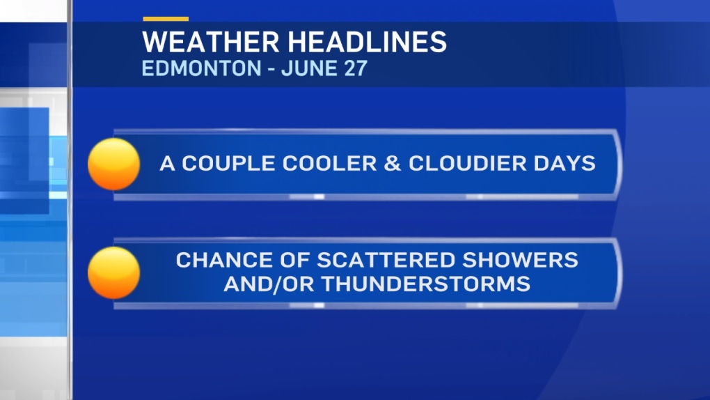
Today, an Upper Low hovers over northern Alberta. That'll keep most of Central and Northern Alberta cloudy and much cooler. Highs should be in the 15-20 degree range in most areas. Edmonton drops from a high of 30 Monday to a high near 20.
We WILL get a bit of sun this morning in the Capital Region. Then...clouding over with a chance of scattered showers and/or thunderstorms this afternoon and evening. These storms won't be as powerful as last night's. EnviroCan's Storm Prediction Centre has mentioned a slight risk of a few cold-core funnel clouds in parts of Northern Alberta.
Good chance of showers or periods of rain in parts of Central and NW Alberta overnight and Wednesday morning. Edmonton could get some steadier rain to start the day Wednesday. Warmer and sunnier after Wednesday. Temperatures return to the low to mid 20s in the Capital Region Thu/Fri/Wknd
Here's the Edmonton forecast:
Today - Mix of sun and cloud. 60% chance of a shower. Risk of a thunderstorm.
High: 20
Tonight - Cloudy. 60% chance of showers or periods of rain overnight.
9PM: 17
Wednesday - 80% chance of showers or periods of rain in the morning.
Mostly cloudy with a 40% chance of showers in the afternoon.
Morning Low: 13
Afternoon High: 17
Thursday - Mix of sun & cloud.
Morning Low: 12
Afternoon High: 21
Friday - Mix of sun & cloud. 30% chance of a late-day shower or thunderstorm.
Morning Low: 11
Afternoon High: 23
Saturday - Partly cloudy.
Morning Low: 12
Afternoon High: 25
Sunday - Mix of sun & cloud. 40% chance of a late-day shower or thunderstorm.
Morning Low: 13
Afternoon High: 24
