Whenever it gets warm like this, it's fun to look at who we're warmer than.
This morning, temperatures hovered around +5 in Edmonton. That was MUCH warmer than the -5 that Vegas thermometers were reading.
They'll get to about 8 Celsius this afternoon, we'll stay around 6 all day.
In fact, we were warmer than almost everyone in the U.S. from Washington State east to Michigan and from California east to Louisiana.
Los Angeles, Phoenix, Oklahoma City, Houston...you name 'em, they were all colder than Edmonton this morning.
That's going to change this afternoon as most of those areas warm up & we hold steady near 6 most of the day.
IF we can get past 7.2 Celsius, we'll set a record. 7.2 in 1965 is the record high for January 15th.
We'll be awfully close.
The other story today will be the wind. 30 to 40km/h wind with gusts up around 60km/h.
And...the warm, windy weather is here for a few days.
Gusty wind & mild again tomorrow. We're also back to a chance of rain or wet snow tomorrow.
Rain/wet snow & warm Thursday (with less wind).
THEN... cold air dives in through the day Friday. Temperatures will drop through the day & we'll stay cool this weekend.
Most models are projecting milder air will return by Monday with highs returning to near -5 (which is average).
Some of the GFS model runs are suggesting zero or above by Tues/Wed of next week.
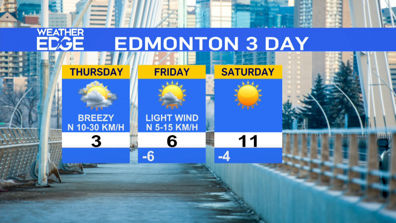
Edmonton Forecast looks like this:
Today - Cloudy with sunny breaks.
Wind: WNW 30-40, gusting to 60km/h
Temperature steady near 6
Tonight - Mostly cloudy.
Wind: WNW 20km/h.
Low: 0
Wednesday - Mostly cloudy. 60% chance of showers or wet snow.
Wind: WNW 30-40, gusting to 60km/h.
High of 2 near Noon, falling to 0 in the afternoon.
Thursday - Cloudy. 60% chance of rain or snow.
Morning Low: -4
Afternoon High: 4
Friday - Clearing & Cooling.
Morning: 0
Afternoon: -10
Saturday - Partly cloudy.
Morning Low: -21
Afternoon High: -13
Sunday - Mainly sunny.
Morning Low: -22
Afternoon High: -16
Advertisement
JACKPOT! We're Warmer Than Vegas - Jan 15, 2013
CTV Edmonton
Published Tuesday, January 15, 2013 8:04AM MST Last Updated Tuesday, January 15, 2013 8:17AM MST
Published Tuesday, January 15, 2013 8:04AM MST Last Updated Tuesday, January 15, 2013 8:17AM MST
