Temperatures hit 13 Saturday & 14 Sunday.
So, last Friday's snow didn't last long.
But that probably wasn't the last of the snow.
Looks like we may see some more snow before this week is done.
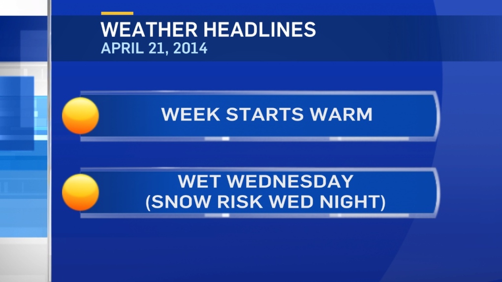
A warm start to the week with temperatures in the mid-teens today & tomorrow.
However, a strong low pressure system will set up over southern Alberta Tuesday night.
Models are indicating 20-40mm of rain is possible for:
Grande Prairie/Peace River, Whitecourt/Edson, Edmonton & area, Red Deer to Coronation & the Calgary to Drumheller region.
Within that zone, heavier precipitation is possible in the foothills thanks to a strong easterly wind & some upsloping in the foothills.
Rain is expected to start Tuesday afternoon in NW Alberta.
The Capital Region can expect steady rain on Wednesday.
Cooling in the mid-levels of the atmosphere means that rain will probably turn to heavy, wet snow in many areas.
In NW Alberta, that flip could take place Wednesday morning.
In the Capital Region, rain will likely turn to snow Wednesday night.
There are too many variables to discuss snowfall totals at this point.
However, some models are suggesting 10-20cm is possible in a few areas.
I'll have more on that tomorrow.
After the mid-week moisture, we stay cool for a couple days & then warm back up by early next week.
Here's the Edmonton forecast:
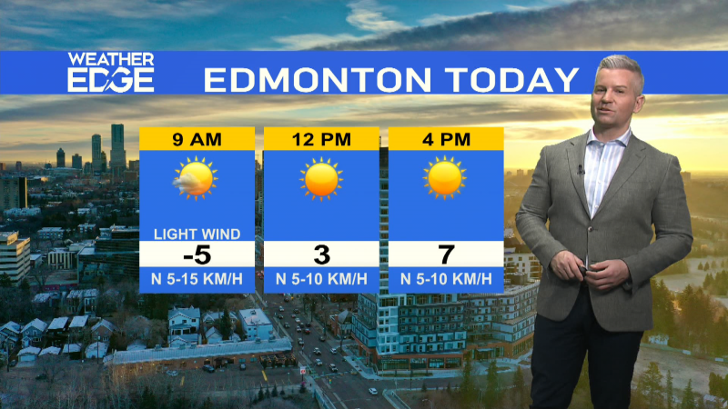
Today - Sunny this morning. Partly cloudy this afternoon.
High: 14
Tonight - Increasing cloud overnight.
Low: 5
Tuesday - Cloudy with sunny breaks. 60% chance of evening showers.
Wind: E 20 gusting to 50 in the afternoon & evening.
High: 15
Wednesday - Cloudy with periods of rain.
Rain turning to snow Wednesday night.
Morning Low: 4
Afternoon High: 7
Thursday - 60% chance of snow in the morning. Cloudy.
Morning Low: 0
Afternoon High: 4
Friday - Mostly cloudy.
Morning Low: -1
Afternoon High: 4
Saturday - Mostly cloudy.
Morning Low: -1
Afternoon High: 6
Advertisement
MID-WEEK MOISTURE - APRIL 21, 2014
CTV Edmonton
Published Monday, April 21, 2014 9:13AM MDT
Published Monday, April 21, 2014 9:13AM MDT
