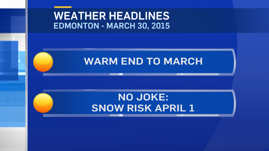
We're in for an "interesting" week of weather.
Rain, snow (maybe heavy snow), gusty wind & a cool-down.
But first...quite nice today.
Edmonton hit 16 Sunday & should be in the low to mid teens this afternoon & again tomorrow.
The first of 3 low pressure systems drives into NW Alberta tomorrow with some showers. That rain turns to wet snow in the NW Tuesday night.
In the Capital Region, we'll get some rain later Tuesday & then there's a good chance that it'll flip to wet snow overnight or early Wednesday morning.
NE Alberta will get a similar timeline - afternoon rain, wet snow developing late Tuesday night.
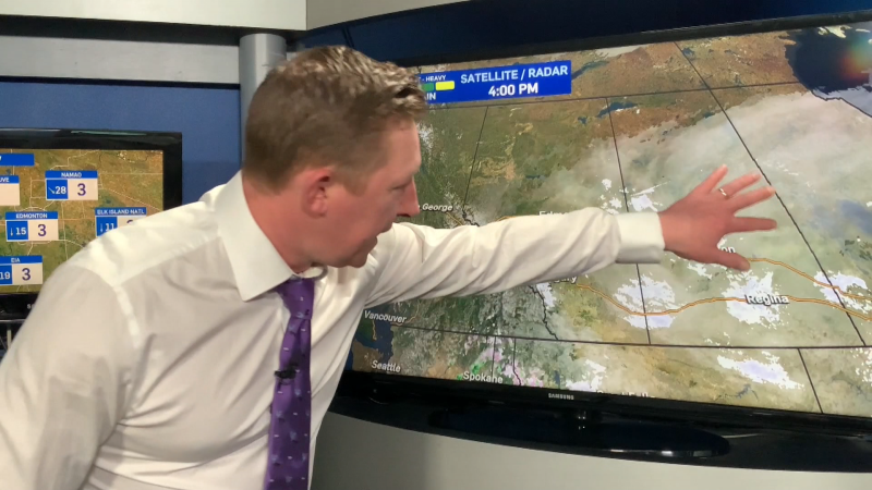
The location of the low is still a bit uncertain. But, it appears the heavier precipitation will be north of Edmonton.
HEAVY snow is possible in areas like Grande Prairie, Slave Lake, Lac La Biche etc...
Wind will also be a factor as it gusts to 50 or 60km/h behind the low.
Blowing snow could be a problem Wednesday morning in & around Edmonton.
The snow tapers off late Wednesday in the Capital Region.
A second (weaker) low pressure system slides across North-Central Alberta Thursday with a slight risk of some light flurries.
The 3rd low pressure system is slated to cross on Friday.
Behind that system, temperatures will likely sit in the 0 to 5 range for Easter weekend with a risk of light snow both Saturday & Sunday.
Here's the Edmonton forecast:
Today - Mainly sunny this morning. Increasing cloud this afternoon.
High: 13
Tonight - Partly cloudy.
Low: 4
Tuesday - Increasing cloud. 60% chance of rain.
High: 15
Rain turning to snow overnight. Wind gusting to 50-60km/h
Wednesday - Cloudy. 70% chance of snow.
Wind: NW 30 gusting to 50 in the morning, easing later in the day.
Morning Low: 2
Afternoon High: 4
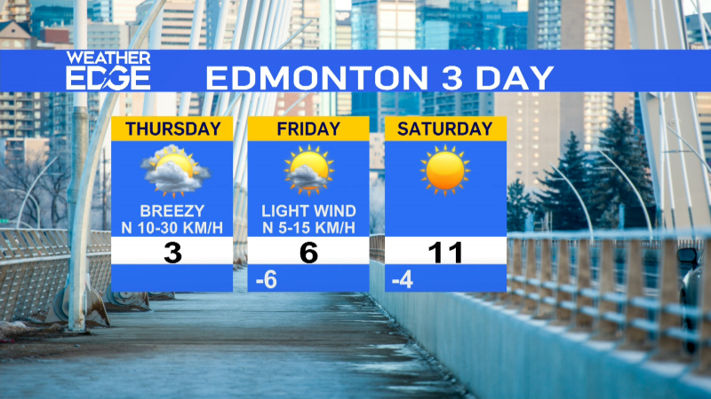
Thursday - Mostly cloudy. 30% chance of a few flurries.
Morning Low: -3
Afternoon High: 5
Friday - Partly cloudy.
Morning Low: -2
Afternoon High: 8
Saturday - Mostly cloudy. 20% chance of light snow.
Morning Low: -2
Afternoon High: 3
Advertisement
SPRING: All the Weather in 1 Week - March 30, 2015
CTV Edmonton
Published Monday, March 30, 2015 8:20AM MDT
Published Monday, March 30, 2015 8:20AM MDT
