A strong Upper Ridge is settling in for an extended stay across the prairies.
You may remember the heat streak we had early in July. THAT was thanks to an Upper Ridge.
That system faded for a bit, but has returned this week.
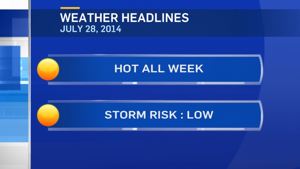
And...THAT means heat & sun for most of the next 5-7 days for MOST of Alberta.
However...there WILL be a few exceptions.
There's a LOW storm risk, not NO storm risk.
We have a few scattered showers tracking through the Swan Hills region this morning.
Those could turn into some scattered thunderstorms in NE Alberta this afternoon.
We'll also watch for 1 or 2 thunderstorms to bubble up in NW Alberta (especially just south of Grande Prairie) later today.
The RPM model pushes through storm cluster through areas JUST north of Edmonton late this evening/overnight.
I think it'll weaken before getting this far east, so I'm leaving it out of the forecast (at least, for now).
We'll watch it later today and adjust the forecast if necessary.
Tuesday - could see some scattered thunderstorms develop in the foothills.
TEMPERATURE:
Record highs may be set in many areas this week, especially in NW Alberta.
Edmonton will be close on a couple of afternoons...but will likely fall just short of records.
The records are:
Mon - 31.3 in 1987
Tue - 32.2 in 1934
Wed - 32.2 in 1939
Thu - 31.1 in 1922
Fri - 33.3 in 1922
Here's the Edmonton forecast:
Today - Sunny.
High: 28
Tonight - Mainly clear.
Low: 13
Tuesday - Fog patches in the morning. Mainly sunny.
High: 30
Wednesday - Mainly sunny.
Morning Low: 15
Afternoon High: 31
Thursday - Partly cloudy. Risk of a late-day thunderstorm.
Morning Low: 15
Afternoon High: 31
Friday - Partly cloudy.
Morning Low: 15
Afternoon High: 28
Saturday - Partly cloudy.
Morning Low: 15
Afternoon High: 29
Advertisement
THE UPPER RIDGE RETURNS - July 28, 2014
CTV Edmonton
Published Monday, July 28, 2014 7:58AM MDT Last Updated Monday, July 28, 2014 7:58AM MDT
Published Monday, July 28, 2014 7:58AM MDT Last Updated Monday, July 28, 2014 7:58AM MDT
