We'll get a bit of everything this weekend. Well...everything but snow.
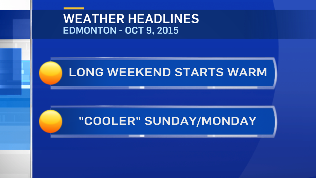
Edmonton should get into the low 20s again today & Saturday.
The pattern changes late Saturday/early Sunday.
The Upper Ridge starts to collapse and we'll have a cold front sweeping across the province.
I still think that front should push through the Capital Region early Sunday morning.
So...the strongest wind & best chance of rain is forecast for Sunday morning.
By Sunday afternoon...sunny breaks, wind slowly easing & cooler.
Temperatures will drop 5-10 degree behind that cold front.
We go from the low 20s Saturday to the low-to-mid teens Sunday.
Those "cooler" temperatures are close to average and should stick around through Mon/Tue.
Elsewhere around the province:
NW - Low 20s & Increasing cloud Saturday.
Chance of showers late Saturday night/Sunday morning.
Cooling to highs in the 10-15 range Sun/Mon
NE - Near 20 & Partly cloudy Saturday.
Chance of showers & windy Sunday - high near 10.
Clearing & mid-teens Monday.
S-Ctl - Near 20 & Mix of sun & cloud Saturday.
Partly cloudy Sunday/Monday with highs in the mid-teens.
Here's the Edmonton forecast:
Today - Partly cloudy this morning. Increasing afternoon cloud.
Wind: SW 10-20km/h
High: 21
Tonight - Mostly cloudy in the evening. Clearing overnight.
Wind: SW 15 gusting to 30km/h
Morning Low: 8
Saturday - Mix of sun & cloud. Breezy. Wind: WSW 15-30km/h 40% chance of a shower late-evening or overnight.
High: 22
Sunday - 40% chance of a shower in the morning.
Wind: W 20 gusting to 50km/h
Morning Low: 8
Afternoon High: 14
Monday - Partly cloudy. Light wind.
Morning Low: 2
Afternoon High: 15
Tuesday - Mainly sunny. Windy.
Morning Low: 4
Afternoon High: 14
Wednesday - Mainly sunny.
Morning Low: 3
Afternoon High: 12
Advertisement
WARM, WINDY & A RISK OF RAIN - OCTOBER 9, 2015
CTV Edmonton
Published Friday, October 9, 2015 8:26AM MDT
Published Friday, October 9, 2015 8:26AM MDT
