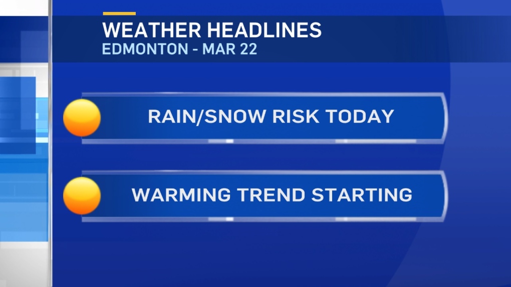
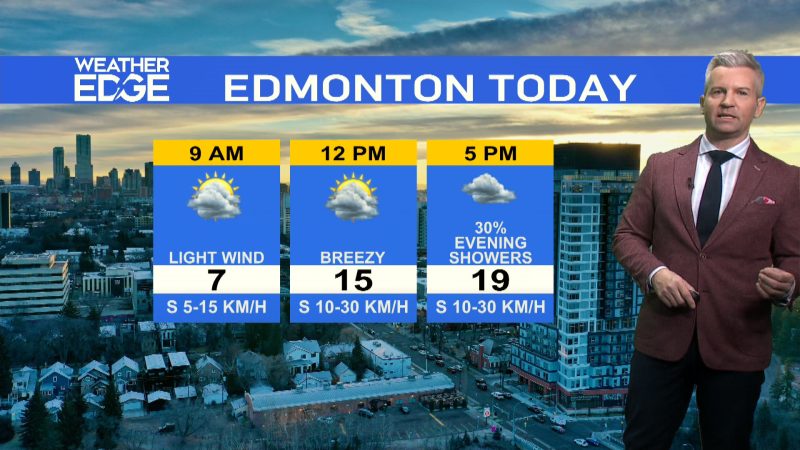
Mild temperatures and a chance of precipitation for the Edmonton area today.
A low pressure system will move eastwards across southern Alberta.
Ahead & to the north of that Low...we'll get a risk of some rain/snow mix.
That precipitation will move through the Red Deer/Coronation regions this morning.
Further NW - A band of wet snow has develop through the foothills and into the Grande Prairie areas.
If the Capital Region is going to get any precipitation from this system, it'll likely be a rain/snow mix late in the morning or early in the afternoon.
Snow is possible in East-Central and parts of NE Alberta this afternoon with a couple cm of accumulation possible from the Bonnyville area south towards Wainwright.
Another wave of snow will move across Northern Alberta tonight & Thursday.
Most of that precipitation will stay north of the Edmonton region.
BUT...there's a slight risk of a few flurries in the area Thursday.
In the Peace Country: 1-3cm of snow is possible tonight and early Thursday.
In the Lac La Biche/Bonnyville/Fort McMurray areas: Snow moves in Thursday and could be 1-4cm of accumulation.
Looking LONGer Range
Daytime highs will climb into the 5-10 degree range for Friday, the weekend & much of next week.
There's a slight risk of some precipitation overnight Saturday night into early Sunday morning.
Here's the Edmonton forecast:
Today - Mostly cloudy. 30% chance of a rain/snow mix late this morning or early this afternoon.
High: 4
Tonight - Mostly cloudy.
Evening: -1
Thursday - Mostly cloudy. 30% chance of flurries.
Morning Low: -5
Afternoon High: 5
Friday - Increasing cloud.
Morning Low: -6
Afternoon High: 6
Saturday - Mix of sun & cloud.
Morning Low: -2
Afternoon High: 8
30% chance of rain/snow mix overnight or early Sunday morning.
Sunday - Cloudy with sunny breaks.
Morning Low: -3
Afternoon High: 5
Monday - Mostly cloudy.
Morning Low: -4
Afternoon High: 7
Advertisement
WARMING TREND - March 22
CTV Edmonton
Published Wednesday, March 22, 2017 9:07AM MDT
Published Wednesday, March 22, 2017 9:07AM MDT
