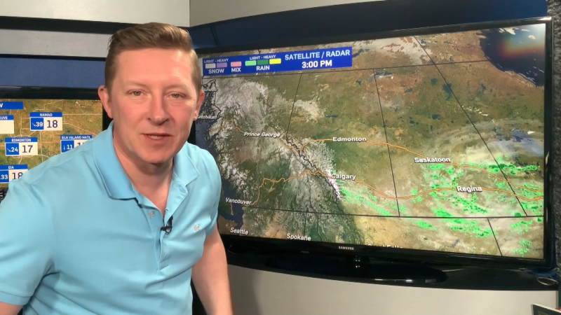
The Capital Region's getting a dusting of snow this morning.
Seems like every time there's even a "chance" of precipitation this winter...we get it.
With that in mind, I've thrown a slight risk of light snow into the forecast for tomorrow night.
It will likely stay E & NE of Edmonton, but it can't be completely ruled out.
Today's snow could amount to a few centimetres in the foothills & mountains.
Most areas from Edmonton north will get some sun breaking through the clouds this afternoon.
Areas south of Edmonton stay cloudier (in general).
A cold front sweeps into NE Alberta & gives the Fort McMurray region a chance of 1-3cm of light snow overnight & early Saturday.
As that front drops south, we get a chance of snow in the Bonnyville area & down through the Vermilion-Lloyminster region.
The western edge of that snow probably won't reach Edmonton. But, as I mentioned earlier, I can't say that for sure.
So, there's a slight risk of a couple pockets of light snow late Saturday afternoon or Saturday evening in the Edmonton area.
The cold air behind that cold front won't affect the Capital Region, it'll stay well to the east of us.
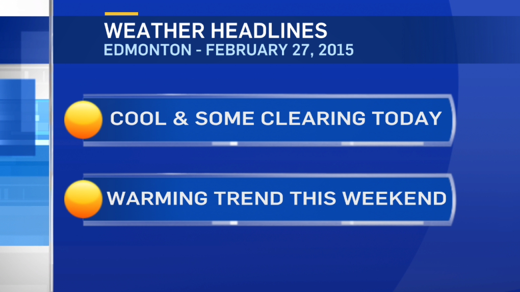
A warmer flow will help push temperatures close to 0 on Sunday.
Another blast of cold air crashes in Monday. Keep an eye on the forecast.
The combination of snow, wind & plummeting temperatures could make for a stormy day in some areas.
Here's the Edmonton forecast:
Today - Light snow ending this morning. Cloudy with sunny breaks this afternoon.
High: -9
Tonight - Partly cloudy.
Low: -16
Saturday - Partly cloudy. 20% chance of light snow late afternoon/evening.
High: -5
Sunday - Partly cloudy.
Morning Low: -12
Afternoon High: -2
Monday - Mostly cloudy. 60% chance of snow & windy.
Temperature falling.
Morning: -7
Afternoon: -10
Tuesday - Mainly sunny.
Morning Low: -18
Afternoon High: -12
Wednesday - Partly cloudy.
Morning Low: -19
Afternoon High: -6
Advertisement
WEEKEND WARMING - February 27, 2015
CTV Edmonton
Published Friday, February 27, 2015 9:04AM MST
Published Friday, February 27, 2015 9:04AM MST
