Edmonton hit highs of 8.3 and 9.8 on the weekend.
As expected, no record highs in the city.
BUT...there were other parts of Alberta that set record highs on Saturday.
Among the record-setting spots:
Grande Prairie and Slave Lake hit highs of 9.
Cold Lake and High Level hit highs of 7.
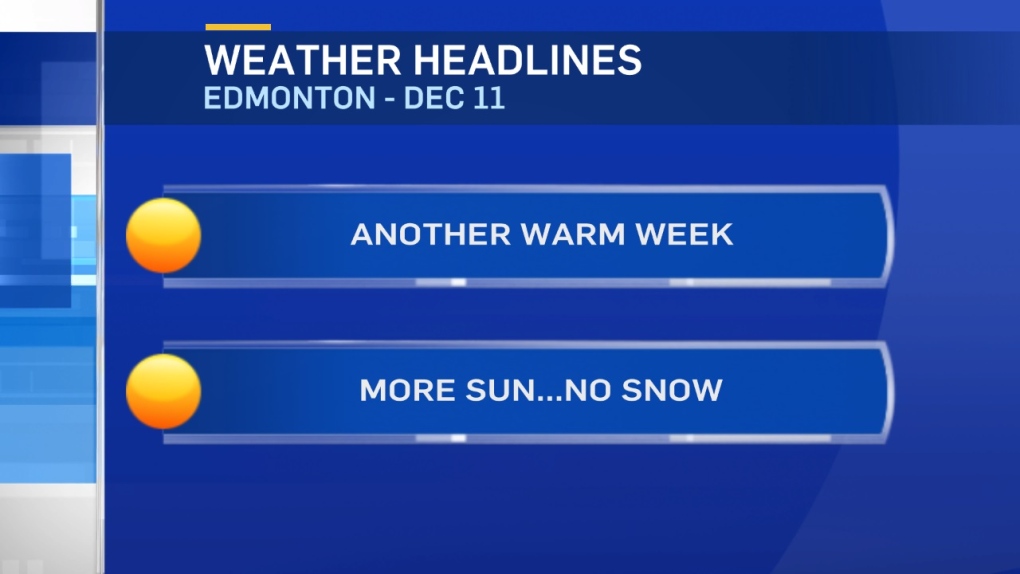
The warm weather will stick around for much of this week.
However, there are indications we might be in for a bit of a cooldown towards the end of the week.
Daytime highs are projected to drop closer to 0.
So...not back to average. But, cooler than the 5-10 degree range highs that we'll get today/Tue/Wed/Thu.
MAYBE back to sub-zero daytime highs around the 20th of December.
That means we're still on pace for 14 of the first 15 days of December to be above zero in Edmonton.
That's the most (by a LONG shot) in the past 20 years.
The only other year with more than 10 days above zero in the first half of December is 2002 (13 days).
Hoping for snow?
Looks like you're outta luck (again) this week in Edmonton.
There's a risk of snow or rain/snow mix in North and NE Alberta late Wednesday.
Southern Alberta might get some Friday night/early Saturday.
But, there's no real chance of snow in the Edmonton area until a slight risk on Sunday (which is a LONG way off).
Here's the Edmonton forecast:
Today - Mainly sunny.
High: 7
Evening - Mainly clear.
9pm: 2
Tuesday - Mainly sunny.
Morning Low: -3
Afternoon High: 8
Wednesday - Partly cloudy.
Morning Low: -4
Afternoon High: 6
Thursday - Mix of sun & cloud.
Morning Low: -7
Afternoon High: 6
Friday - Mix of sun & cloud.
Morning Low: -4
Afternoon High: 4
Saturday - Mix of sun & cloud.
Morning Low: -4
Afternoon High: 2
