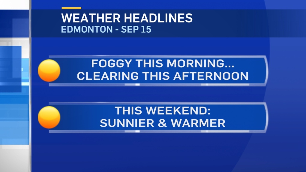
Fog patches in parts of the Capital Region and some frost (especially in northern parts of the area).
It looks like most areas inside the Henday are above zero this morning.
However, areas outside the Hendary are near or slightly below freezing.
A similar setup will develop Saturday morning.
Fog will dissipate mid-to-late morning & we'll see some sun this afternoon.
Yesterday's sunny breaks helped generate some showers & hail-storms.
We may see the same thing develop later THIS afternoon, especially south and SE of Edmonton.
Any hail that develops should be pea-sized or smaller.
Warmer air will push into NW Alberta today and then slowly ripple SE across the province.
In Edmonton, we'll be near 14 this afternoon.
Then - cool mornings and afternoon highs in the mid to upper teens Saturday and Sunday.
LONG RANGE:
No sign of a significant long-lasting warming trend.
Another Upper Trough (pool of cold air aloft) will sweep in and dominate the weather pattern next week.
Surface temperatures will likely be in the 11-16 degree range for Tue-Fri next week.
Here's the Edmonton forecast:
Today - Fog dissipating this morning. Partly cloudy this afternoon.
Slight risk of an isolated shower.
High: 14
Evening - Clearing.
9pm: 9
Saturday - Risk of patchy frost in the area early in the morning. Then, Sunny with a few clouds.
Morning Low: 2
Afternoon High: 16
Sunday - Mainly sunny.
Morning Low: 2
Afternoon High: 17
Monday - Partly cloudy. 40% chance of showers in the evening/overnight.
Morning Low: 5
Afternoon High: 18
Tuesday - Mostly cloudy. 60% chance of showers (especially in the afternoon).
Morning Low: 6
Afternoon High: 13
Wednesday - Mix of sun & cloud.
Morning Low: 5
Afternoon High: 14
