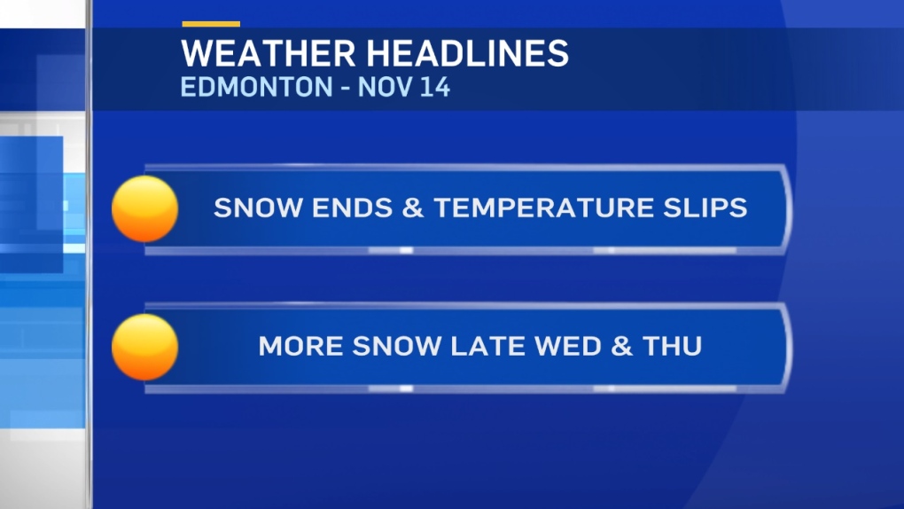
Snow continues to fall in the Edmonton Metro Region this morning.
Early reports point to 1-5cm of fresh snow on the ground in the area.
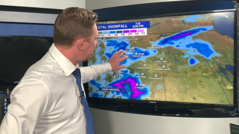
Further north and east, snowfall warnings remain in effect with the potential for 10cm or more.
You can check the latest warnings on the CTV Edmonton Weather App.
Snow tapers off in the Edmonton area later this morning and the wind will ease this afternoon.
We may even see a few sunny breaks. But, no warming.
Temperatures will hold steady near -8 right through to early afternoon and then start to drop by mid-afternoon.
Another area of snow moves into the Peace Country tonight and Wednesday morning.
That could be 5-10cm of snow for parts of NW Alberta.
As the system moves east, heavy snow is possible in the Slave Lake/Barrhead/Athabasca regions again Wednesday afternoon.
Edmonton gets a chance of snow late Wednesday into Thursday morning (another 1-5cm possible).
Cold air drops in and daytime highs will be in double digits Thu/Fri.
THEN...a weekend warm-up with highs in the 0 to -5 range.
Here's the Edmonton forecast:
Today - Cloudy. Snow ending this morning.
Temperature steady near -8 for most of the day
Wind easing this afternoon.
Evening - Mostly cloudy.
9pm: -10
Wednesday - Mostly cloudy. 60% chance of flurries in the afternoon.
Morning Low: -12
Afternoon High: -7
70% chance of snow overnight.
Thursday - Mostly cloudy. 60% chance of flurries.
Morning Low: -12
Afternoon High: -10
Friday - Mostly cloudy.
Morning Low: -18
Afternoon High: -12
Saturday - Mix of sun & cloud.
Morning Low: -13
Afternoon High: -5
Sunday - Partly cloudy.
Morning Low: -15
Afternoon High: -3
