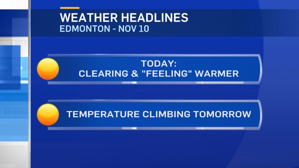
Temperatures will be similar to Thursday. But, it'll FEEL a lot warmer in Edmonton without the wind today.
AND...we'll see some sun breaking through the clouds this afternoon.
This morning...those clouds are producing a few flurries in areas between Edmonton and Red Deer this morning.
We also have some flurries NW of Edmonton Metro Region.
However, MOST of the snow is hitting areas south of Red Deer with the heaviest snow falling in SE Alberta.
All of that precipitation is tracking ESE.
So...Edmonton and area might see a few scattered flurries this morning (but no significant accumulation).
Then...clearing to a mix of sun and cloud this afternoon.
Jasper hit a high of +2 Thursday and should be a handful of degrees above zero today.
That warmer air will drift eastward over the next few days.
However, areas that are snow-covered (like Edmonton) will likely remain below the freezing mark.
Edmonton's warmest days will be Saturday and Monday (highs in 0 to -3 range)
Sunday looks slightly cooler (high near -4) and another cool snap settles in for the middle of next week.
Here's the Edmonton forecast:
Today - Mostly cloudy this morning. Mix of sun & cloud this afternoon.
High: -5
Evening - A few clouds.
9pm: -9
Saturday - Mix of sun & cloud.
Morning Low: -13
Afternoon High: -2
Sunday - Cloudy with sunny breaks.
Morning Low: -13
Afternoon High: -4
Monday - Mix of sun & cloud.
Morning Low: -11
Afternoon High: -2
Tuesday - Mostly cloudy. 30% chance of late-day flurries.
Morning Low: -12
Afternoon High: -5
Wednesday - Mostly cloudy. 60% chance of flurries.
Morning Low: -12
Afternoon High: -7
