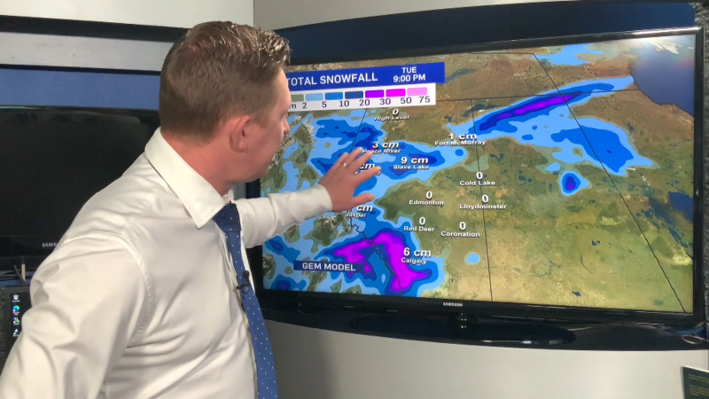
EDMONTON -- About 5-10 cm of snow will likely hit the Edmonton region Saturday.
Most of that will fall between midnight and 8am. But, the snow is expected to continue right through the afternoon hours (just not as heavily).
Snow's also anticipated in a broad swath of areas from Grande Prairie/Slake Lake/Cold Lake south to Camrose.
Regions further west near Jasper and Hinton will see the snow start this afternoon.
Edmonton and areas along highway 16 are expecting the snow to begin tonight.
The highest snow totals will probably hit areas areas further north with 10-20 cm possible in some spots.
Generally, lesser amounts further south. Key word - generally.
Temperatures will get a handful of degrees above zero in Edmonton again today.
In fact, most of the province will get another warm and melty day.
But, cooler air rolls in with the snow Saturday.
Daytime highs drop to around zero for the weekend. Not cold...but cooler.
Long range outlook keeps temperatures near or slightly above average for next week.
HERE'S THE FORECAST FOR EDMONTON:
- Today – Sun this morning. Increasing afternoon cloud.
- High: 6
- Tonight - Mostly cloudy. 80% chance of snow starting overnight.
- 9pm: 2
- Saturday - Cloudy with periods of snow. 5-10 cm likely.
- Morning Low: -2
- Afternoon High: 1
- Sunday - Mostly cloudy.
- Morning Low: -5
- Afternoon High: -1
- Monday - Mix of sun & cloud.
- Morning Low: -8
- Afternoon High: 3
- Tuesday - Mostly cloudy. 40% chance of snow.
- Morning Low: -7
- Afternoon High: 3
- Wednesday - Mostly cloudy.
- Morning Low: -11
- Afternoon High: 1

