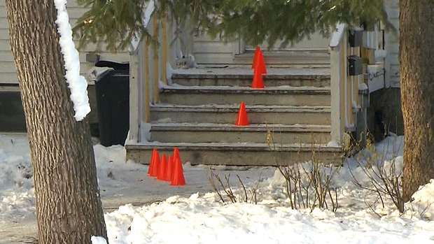
EDMONTON -- Wednesday's melt has led to a foggy morning in the Edmonton region and other parts of Central AB.
Fog will dissipate by mid-morning in most areas and we'll be left under mostly cloudy skies through the day.
Further north, snow will push west to east across the Peace River/High Level areas and then into Fort McMurray this afternoon.
About 5 cm is possible in the High Level region.
Edmonton's next chance at precip is a slight risk of a shower late Friday.
A front moves through Central and North-Central AB with some showers and rain/snow mix on Friday.
(depending on timing...areas further north and east could see freezing rain later in the day).
Intensity, location, duration are ALL question marks at this point. We'll have to watch the system develop tomorrow.
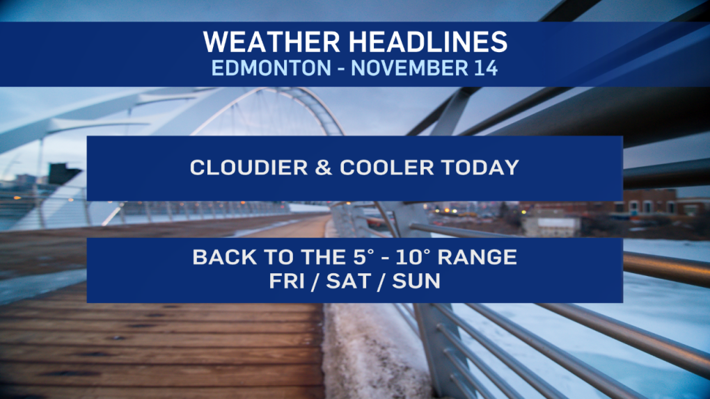
Temperatures "cool" to a high just slightly above zero in Edmonton today.
So...the melt won't be as pronounced as Wednesday (lack of sun will slow down the melt too).
We'll jump back to highs in the 5 degree range Fri/Sat and somewhere in the 5 to 10 degree range Sunday.
Here's the forecast for Edmonton:
- Today – Mostly cloudy. Fog dissipating by mid-morning.
- High: 1
- Tonight - Mostly cloudy.
- 9pm: -2
- Friday - Cloudy with a few sunny breaks. 30% chance of a shower.
- Morning Low: -5
- Afternoon High: 4
- Saturday - Sunny in the morning. Increasing afternoon cloud.
- Morning Low: -2
- Afternoon High: 5
- Sunday - Partly cloudy.
- Morning Low: 0
- Afternoon High: 8
- Monday - Partly cloudy.
- Morning Low: -1
- Afternoon High: 5
- Tuesday - Mix of sun & cloud.
- Morning Low: -3
- Afternoon High: 2
