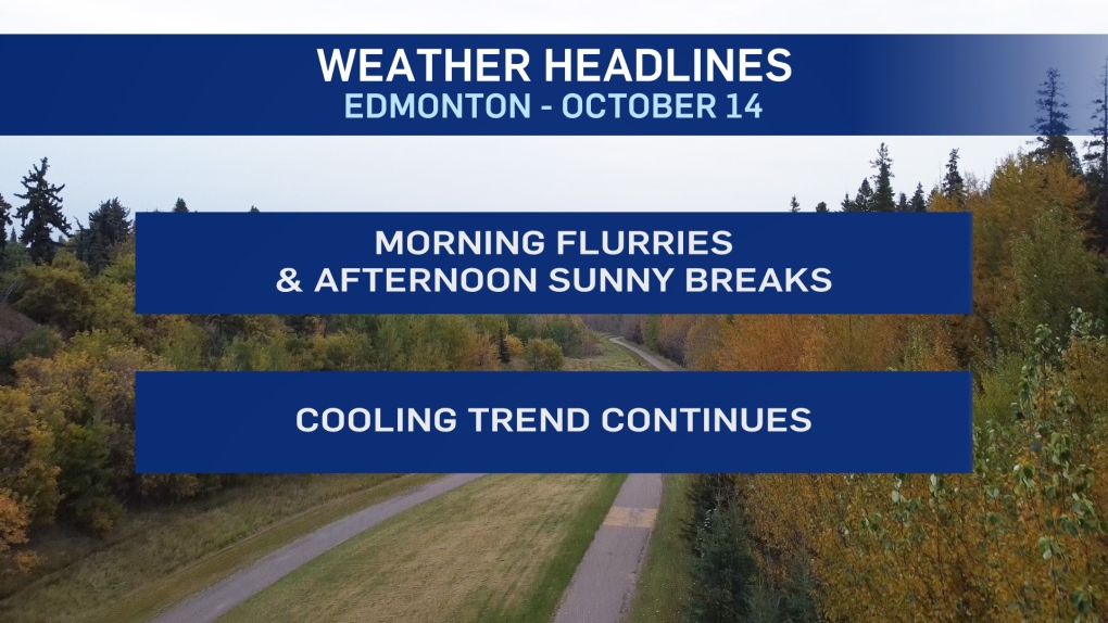
EDMONTON -- A few isolated pockets of flurries developed over the Edmonton region this morning.
No accumulation is expected. But, that's not the last we'll see of the flurries this week.
We should get some sunny breaks this afternoon.
Then, another system will bring a chance of flurries to areas from Grande Prairie SE to Red Deer early Thursday.
Most of that will miss the Edmonton region, but there's a chance of a few flurries in the area Thursday morning.
Sunny breaks develop in the afternoon tomorrow.
Friday brings some heavier snow to the mountain parks and foothills. Areas from Red Deer south to Calgary will also get some accumulating snow.
The latest model runs are suggesting most (maybe all) of that snow will stay south and west of Edmonton.
However, I think we'll at least get some flurries in the city on Friday and if that area of snow shifts, the possibility for a bit of accumulation exists.
I'm leaving a 40% chance of flurries or light snow in the forecast for Friday.
Temperatures will continue to be well below the average high of 10.
Afternoon highs will be in the 4 or 5 degree range today and Thursday. We'll get a couple degrees above zero Friday.
Then...daytime highs below zero by 2 or 3 degrees this weekend.
HERE'S THE FORECAST FOR EDMONTON:
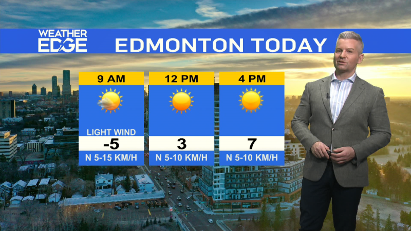
- Today - Cloudy with spotty flurries this morning.
- Mix of sun & cloud this afternoon.
- High: 5
- Tonight - Mostly cloudy.
- 9pm: 2
- Thursday - 40% chance of flurries in the morning. Then...clearing.
- Morning Low: -3
- Afternoon High: 4
- Friday - Mostly cloudy. 40% chance of flurries or light snow.
- Morning Low: -4
- Afternoon High: 2
- Saturday - Mix of sun & cloud.
- Morning Low: -9
- Afternoon High: -2
- Sunday - Mostly cloudy. 30% chance of flurries.
- Morning Low: -6
- Afternoon High: -3
- Monday - Mostly cloudy.
- Morning Low: -11
- Afternoon High: 1
