EDMONTON -- The Upper Low continues to dominate the weather pattern.
Rain is still falling in western and northwestern Alberta where 50-75 mm has already come down.
In Edmonton, 24 mm fell on Tuesday and another 19 mm was recorded at the Blatchford station Canada Day Wednesday.
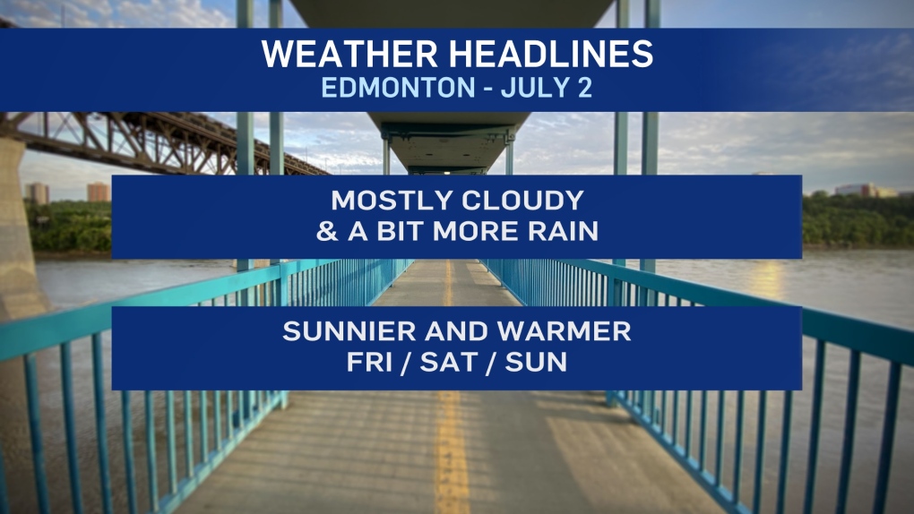
We're in a bit of a break early Thursday morning. But, it appears some more rain will move in from the south later this morning.
It remains a bit unsettled for Friday and probably the weekend too.
We'll get back to the low 20s for afternoon highs in Edmonton Fri/Sat/Sun.
However, morning sun will give way to some afternoon clouds all three days.
I've put a risk of a scattered shower or thunderstorm into the Friday late afternoon/early evening forecast.
You could also make the case that we could see the same thing Sat/Sun.
But, for now...I've left the precip risk out of the weekend forecast.
HERE'S THE FORECAST FOR EDMONTON
Today – Mostly cloudy. 60% chance of showers.
Wind becoming SW 20 gusting to 40 this afternoon.
High: 18
Tonight - Clearing overnight.
9pm: 14
Friday - Sunny in the morning. Partly cloudy in the afternoon.
30% chance of a shower or thunderstorm late in the day.
Morning Low: 10
Afternoon High: 22
Saturday - Partly cloudy.
Morning Low: 12
Afternoon High: 21
Sunday - Mix of sun & cloud.
Morning Low: 11
Afternoon High: 21
Monday - Partly cloudy.
Morning Low: 11
Afternoon High: 22
Tuesday - Mix of sun & cloud. 30% chance of a late-day shower or thunderstorm.
Morning Low: 11
Afternoon High: 21
