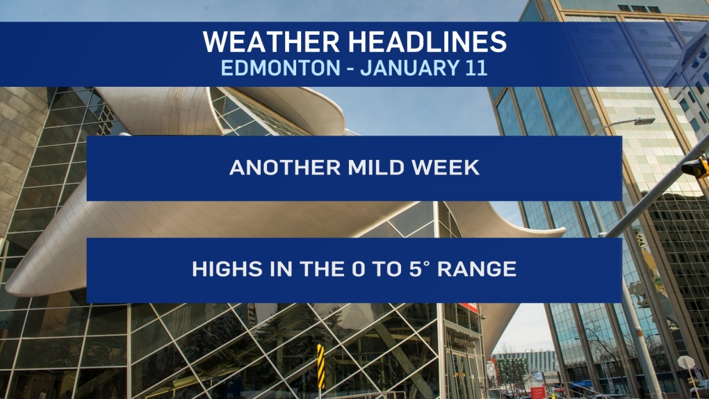
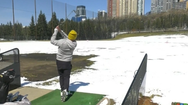
EDMONTON -- Still no sign of average or cooler-than-average temperatures in the forecast.
Edmonton had highs of 0 Saturday and -1 Sunday. AND...that's about as "cool" as it's going to get for a while.
We're expecting to bounce back to the 3 to 5 degree range today with a mix of sun & cloud and light wind.
Temperatures will top out in the 2 degree range Tuesday and then around 0 for Wed/Thu/Fri afternoons.
The long-range outlook has another rebound with highs in the 2 to 5 degree range next week.
BUT...last week we mentioned signs of some colder weather starting to move in around the 20th.
That's starting to look more & more likely with that cooling trend carrying through the end of the month.
So, we'll get through the middle of January without a significant cold snap. But, we probably won't get through to the end of January with some cold weather.
As for precipitation, there's a risk of some flurries or snow hitting the Edmonton region Wednesday morning.
As of right now, it's only a low to moderate chance of seeing any of that snow in the city.
If we do, it'll likely be between a dusting and 3 cm. It appears anything heavier than that is unlikely.
HERE'S THE FORECAST FOR EDMONTON:
- Today - Mix of sun & cloud.
- High: 4
- Tonight - Cloudy periods.
- 9pm: -1
- Tuesday - Partly cloudy in the morning.
- Increasing cloud through the afternoon.
- Morning Low: -5
- Afternoon High: 2
- Temperature steady in the 0 to 2 degree range overnight.
- Wednesday - Cloudy with a 30% chance of flurries or light snow in the morning.
- Clearing & cooling in the afternoon.
- Wind: WNW 20-30 with gusts in the 50 km/h range.
- Morning: 3
- Afternoon: 0
- Thursday - Mainly sunny.
- Morning Low: -3
- Afternoon High: 1
- Friday - Mostly cloudy.
- Morning Low: -10
- Afternoon High: 0
- Saturday - Partly cloudy.
- Morning Low: -2
- Afternoon High: 2
