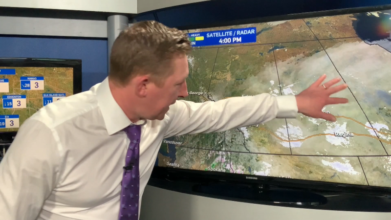
Just can't seem to get rid of the clouds & with that low deck of stratocumulus comes some occasional light flurries.
Don't expect any accumulation. But, radar IS picking up a few pockets of light snow this morning.
A weak area of high pressure is trying to drop in from the NW. That system doesn't look like it'll have much success in clearing out the clouds.
But, there should at least be a few sunny BREAKS this afternoon in the Edmonton area.
It's still looking like this upper trough will move out & be replaced by some warmer air early next week.
Expect temperatures to climb back above zero by Monday. Edmonton should be in the 2 to 5 range for highs from Tue-Fri next week.
In case you're wondering, we're 10 degrees colder than normal. Average daytime high is 10 these past few days.
That average high slips to 5 by early next week. So...we'll actually be back to near "normal" temperatures to start November.
As for Halloween: still a chance of a late-day shower, with an afternoon high in the 3 or 4 degree range.
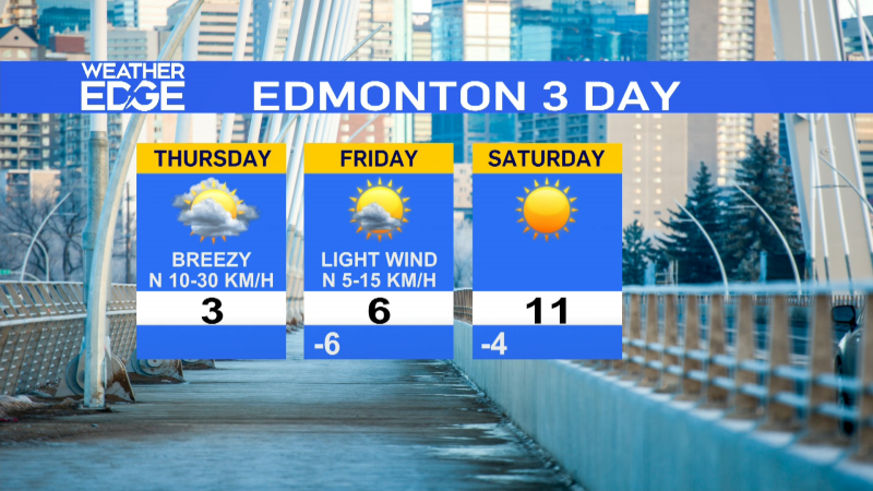
Edmonton Forecast looks like this:
Today - Cloudy with a few morning snowflakes. Late-day sunny breaks.
High: -1
Tonight - Mostly cloudy.
Low: -7
Fri - Cloudy with sunny breaks.
High: -3
Sat - Mix of sun & cloud.
High: -3
Sun - Mostly cloudy. 30% chance of flurries.
High: -1
Mon - Mostly cloudy.
High: 1
Tue - Mix of sun & cloud.
High: 2
Advertisement
Can't Shake the Clouds! - Oct. 25, 2012
CTV Edmonton
Published Thursday, October 25, 2012 9:06AM MDT
Published Thursday, October 25, 2012 9:06AM MDT
