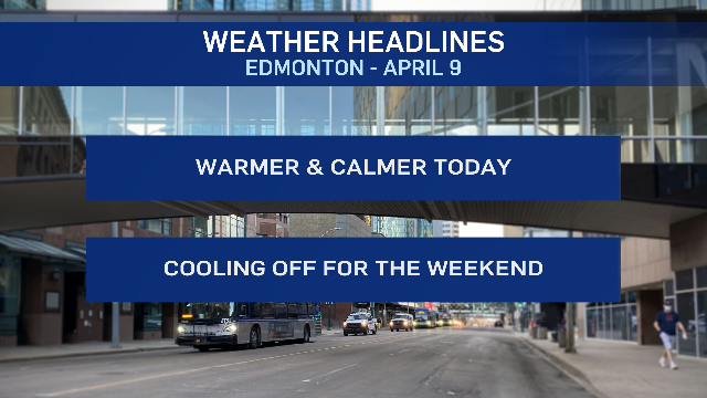
EDMONTON -- The up and down temperatures are heading back up today.
Most of central and eastern Alberta should get highs in the double digits this afternoon (a handful of degrees warmer than yesterday).
A new low-pressure system will develop in northwestern Alberta, bringing some increasing cloud to the Edmonton region and areas to the west.
Wind will pick up through the foothills this afternoon. In Edmonton, it won't be AS windy as yesterday. But, light wind this morning will pick up to around 15-20 km/h this afternoon.
As the system tracks ENE later today, there's a slight risk of some spotty showers near and/or north of Edmonton early this evening.
Behind that low...we get another drop in temperature for the weekend.
Daytime highs will be in the 4 to 7 degree range Saturday and Sunday. But, Sunday will be the nicer of the two days (save for the frosty morning).
Cloudy, a decent chance of some flurries (or a rain/snow mix) and gusty on Saturday.
Wind eases, and we get back to some sun on Sunday.
A new warming trend begins next week with highs back close to 10 by Tue/Wed.
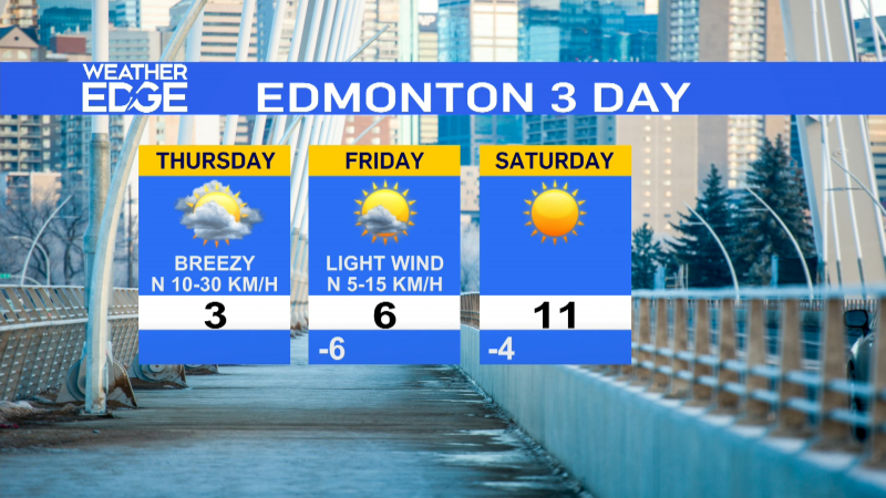
Here's the forecast for Edmonton:
Today - Mix of sun & cloud this morning. Mostly cloudy this afternoon.
Light wind this morning, becoming SW 15-20 km/h this afternoon.
High: 11
Tonight - Partly cloudy.
9pm: 7
Saturday - Mostly cloudy. 40% chance of flurries and/or rain/snow mix.
Windy. W 20 gusting to 40 in the morning. NW 30 gusting to 50 in the afternoon.
Morning Low: -2
Afternoon High: 5
Sunday - Partly cloudy.
Morning Low: -5
Afternoon High: 6
Monday - Partly cloudy.
Morning Low: -6
Afternoon High: 6
Tuesday - Mainly sunny.
Morning Low: -3
Afternoon High: 9
Wednesday - Mainly sunny.
Morning Low: 0
Afternoon High: 11
