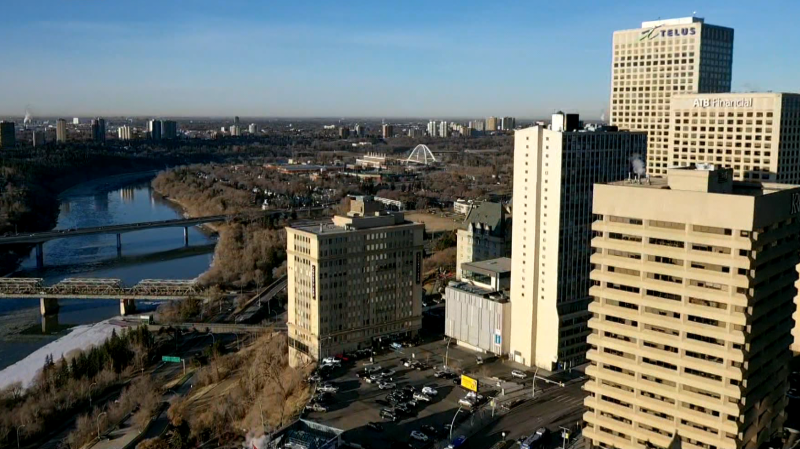
EDMONTON -- We're set to hit a milestone in this cold spell today.
Edmonton has had daytime highs below -15 C since Feb. 4. But, that streak ends today as we're expecting a high around -13 C in the city.
(That's still about 10 degrees colder than average.)
Often, you're either IN or OUT of the arctic air and cold spells set in quickly and end abruptly.
That's not so much the case this time. After six straight days with highs below -20, we "warmed" to highs in the -17/-18 range for the weekend and yesterday.
Today, we'll get above -15.
Tomorrow, we're set to get to around -10.
Thursday should have a high near -5.
Friday or Saturday will have us back to zero and we're anticipating highs above zero for Sun/Mon.
So, rather than a sharp return to seasonal temperatures...we'll GRADUALLY get back into milder air by the end of this week.
PRECIP Outlook:
A few flurries will push through north-central AB and western parts of the province this morning.
Edmonton will likely see some of that, but no significant accumulation is expected.
The area of flurries should push south towards the Red Deer region by this afternoon.
After today, not much chance for snow in the Edmonton area for the rest of the week.
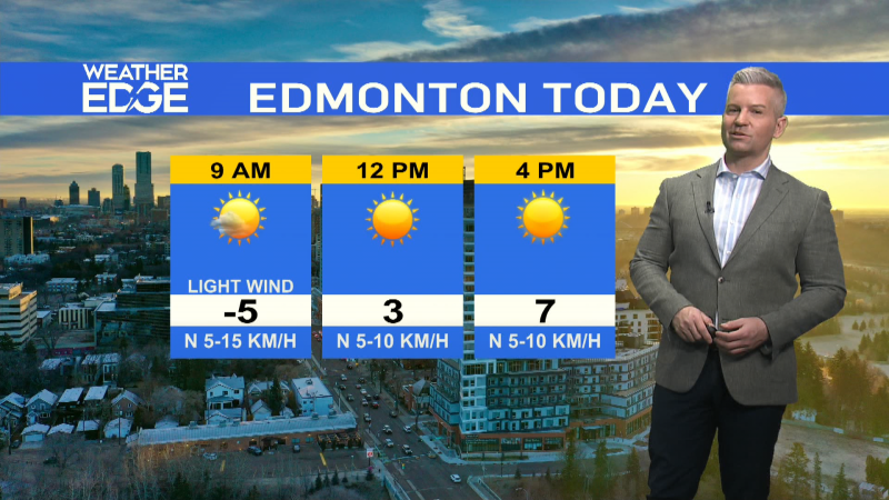
Here's the forecast for Edmonton:
Today - Mostly cloudy with a few flurries this morning.
Cloudy with a few sunny breaks this afternoon.
Wind W 5-10 km/h
High: -13
Tonight - Cloudy periods.
9pm: -16
Wednesday – Mix of sun & clouds in the morning.
Sunny in the afternoon.
Wind SW 10-15 km/h
Morning Low: -20
Afternoon High: -9
Thursday – Mainly sunny.
Morning Low: -18
Afternoon High: -6
Friday – Mix of sun & cloud.
Morning Low: -10
Afternoon High: -3
Saturday – Partly cloudy.
Morning Low: -9
Afternoon High: 1
Sunday – Mix of sun & cloud.
Morning Low: -8
Afternoon High: 3

