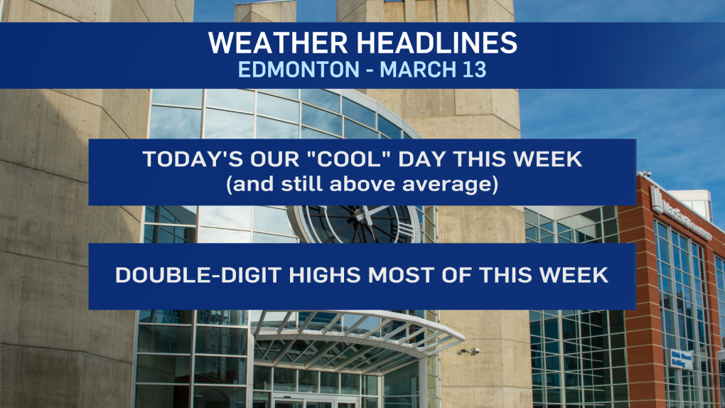
EDMONTON -- Coming off a double-digit weekend in Edmonton and there are more of those temperature coming later this week.
Today, we're in a short-lived "cool snap." The big upper ridge that dominated the weekend weather pattern has collapsed.
It won't be COLD today. But, we'll have a daytime highs in the 2 to 5 degree range in Edmonton.
That's still a bit warmer than average, but nowhere near the weekend temperatures.
Saturday's high of 13.6 C was just barely short of the March 13 record high of 14.7 C set in 2015.
Sunday's high of 11.7 was about 10 degrees warmer than average but WELL below the record of 18.3 set in 1910.
(If you're curious, we'd have to hit highs of 17 to 19 degrees to break records this week.)
We'll warm back up quickly. Sunshine and a high near 10 C in Edmonton tomorrow.
Wednesday through Friday all look like they'll have highs in the 10 to 15 degree range.
AND...the warm weather appears to last through the weekend and on into next week.
So, there's no sign of significant precipitation or any "cold" weather.
Today is about as "cold" as it's going to get through the next 5 to 10 days.
Here's the forecast for Edmonton:
Today - Mix of sun & cloud. Gusty this morning. Wind easing this afternoon.
High: 3
Tonight - A few clouds.
9pm: -3
Tuesday - Sunny with a few clouds.
Morning Low: -7
Afternoon High: 9
Wednesday - Mainly sunny.
Morning Low: -3
Afternoon High: 10
Thursday - Mainly sunny.
Morning Low: -2
Afternoon High: 12
Friday - Mix of sun & cloud.
Morning Low: 2
Afternoon High: 13
Saturday - Partly cloudy.
Morning Low: 0
Afternoon High: 11
