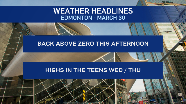
EDMONTON -- A fresh, new warming trend kicks off today as temperatures swing back up.
It was 12 degrees in Edmonton Sunday. Yesterday, the wind chill was MINUS 12 (at 5pm -- it was colder for most of the day).
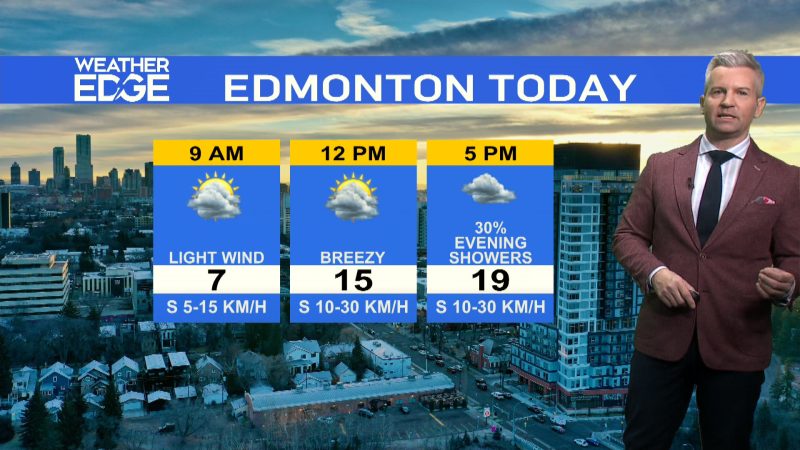
Today, we're off to a chilly start this morning. But, we'll be near zero by noon and up to a high around 5 degrees later this afternoon.
Wind dropped right off late last night. We might see it pick up to 15-20 km/h this afternoon with some occasional gusts to 30.
But, nothing like we were dealing with Monday.
In eastern Alberta, you get one more cool and windy day today. Not as bad as Monday, though. Highs near zero and gusts to around 50 km/h for much of the day.
An upper ridge ripples across the province over the next few days and Wednesday/Thursday will be the warmest days for Edmonton and area.
Daytime highs will climb into the teens over those days. Then, we settle back in to highs in the 7 to 11 degree range for Friday through Sunday.
We'll watch for the risk of some showers/wet snow late Thursday. At this point, it looks like that'll mainly affect northern Alberta.
But, there's a slight chance of seeing a bit of that push far enough south to affect at least parts of the Edmonton region.
Here's the forecast for Edmonton:
Today - Partly cloudy. Light wind this morning, becoming 15-20 km/h this afternoon.
High: 5
Tonight - Mostly cloudy overnight.
9pm: 0
Wednesday - Mix of sun & cloud.
Morning Low: -3
Afternoon High: 13
Thursday - Partly cloudy.
Morning Low: 0
Afternoon High: 16
Friday - Partly cloudy.
Morning Low: 1
Afternoon High: 9
Saturday - Mix of sun & cloud.
Morning Low: 1
Afternoon High: 10
Sunday - Mix of sun & cloud.
Morning Low: -5
Afternoon High: 9
