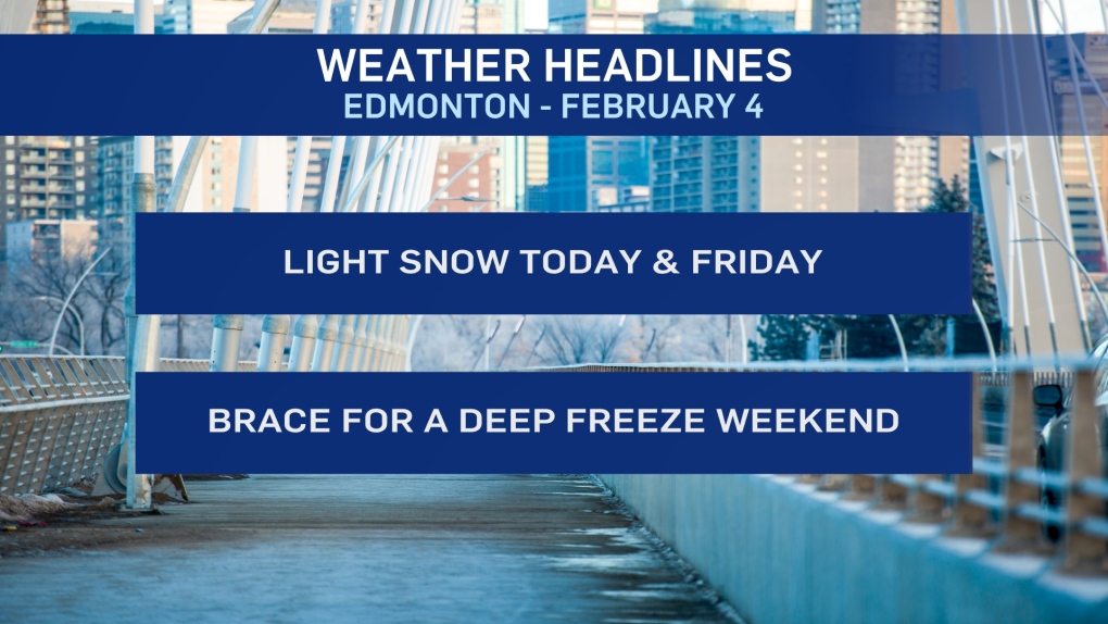
EDMONTON -- Flurries and pockets of light snow will move through the Edmonton region this morning and should be out of the area by this afternoon.
Don't expect any HUGE dump of snow today or tomorrow. This should be anywhere between a dusting to 3 cm over the course of both days.
The bigger issue is the arctic air that starts to drop in Friday.
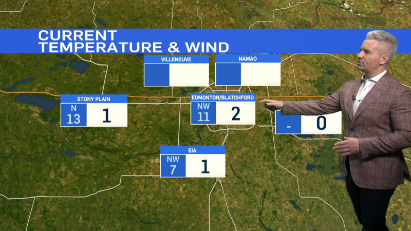
We're up around -10 for an afternoon high in Edmonton today (BUT...wind chill will make it feel more like the minus teens this afternoon)
Parts of southern AB will get above zero while northern Alberta gets afternoon highs near -20.
By Friday, Edmonton and area is sitting around -20 in the afternoon and the weekend looks even colder.
Sat/Sun morning will both be in the -30s. In fact, Sunday morning could be closer to -35 in the city while outlying areas drop to around -40.
The upside? Wind is expected to be light and we'll see some sun this weekend.
The arctic air sticks around through the early part of next week before moving out towards the end of next week.
HERE'S THE FORECAST FOR EDMONTON:
- Today - Cloudy with pockets of light snow this morning. Cloudy and breezy this afternoon.
- High: -10
- Tonight - Mostly cloudy.
- 9pm: -17
- Friday - Mostly cloudy. 70% chance of flurries or light snow.
- Morning Low: -21
- Afternoon High: -19
- Saturday - Mix of sun & cloud.
- Morning Low: -31
- Afternoon High: -21
- Sunday - Mainly sunny.
- Morning Low: -33
- Afternoon High: -23
- Monday - Mainly sunny.
- Morning Low: -35
- Afternoon High: -23
- Tuesday - Mainly sunny.
- Morning Low: -33
- Afternoon High: -18
