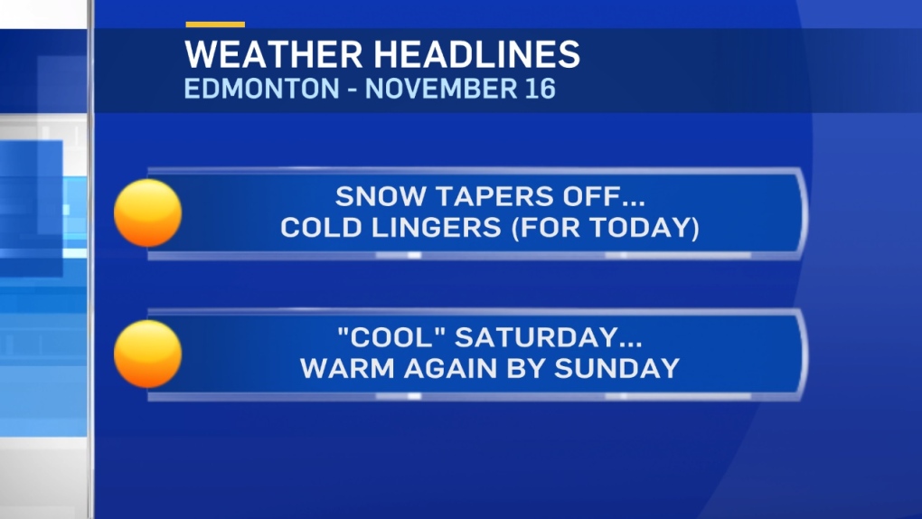
Cold air settles in behind a blast of snow that left about 5cm of fresh snow on the ground in Edmonton.
Southern and Western parts of the Metro Region likely picked up 5-10cm.
AND...furthern south and west - some spots have 10-15cm of new snow this morning.
Environment & Climate Change Canada is reporting an automated reading of 18cm in Hinton.
The next shot of precipitation comes late Saturday night/early Sunday.
Most of the snow will likely be in NE Alberta (5-10cm possible).
But, the Edmonton region could get some wet snow or a rain/snow mix early Sunday.
We'll also have to keep an eye on the risk for some freezing rain.
Temperatures will settle in the -10 to -12 range for much of the day in Edmonton and area.
In fact, most areas from Northern Alberta south to Red Deer will get Highs in the -9 to -12 range today.
Wind is a big factor in the Red Deer region and parts of eastern Alberta this morning.
It will calm down by this afternoon.
Warming to a high near -5 in the Edmonton area Saturday. THEN...back above zero by Sun/Mon/Tue.
Here's the Edmonton forecast:
Today - Cloudy this morning. Clearing this afternoon.
High: -10
Evening - Partly cloudy.
9pm: -12
Saturday - Partly cloudy.
Morning Low: -14
Afternoon High: -4
40% chance of snow overnight.
Sunday - 40% chance of snow in the morning (risk of freezing rain).
Mostly cloudy in the afternoon.
Morning Low: -8
Afternoon High: 5
Monday - Partly cloudy.
Morning Low: -3
Afternoon High: 5
Tuesday - Mainly sunny.
Morning Low: -4
Afternoon High: 4
Wednesday - Mix of sun & cloud.
Morning Low: -6
Afternoon High: 3
