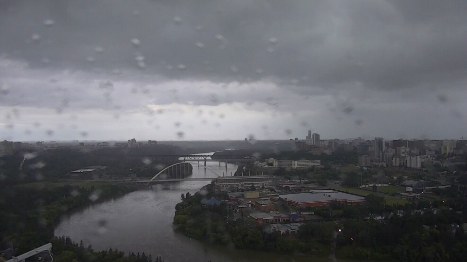
Rainfall Warnings are in effect for areas to the west and SW of Edmonton. Those areas woke up to rain and thunderstorms today and can expect the precipitation to continue for most of the day. At least 40-70mm is expected in the warning zone, which includes Drayton Valley, Devon, Rimbey, Pigeon Lake and the Evansburg, Spruce Grove, Stony Plain areas.
Edmonton and area can expect 10-20mm of rain with most of that falling by early afternoon. Then, the rain should taper off a bit this afternoon and will probably end for a while late this afternoon or early this evening.
It'll push back in overnight. This time, it'll wrap back in from the ENE and we have the potential for another 10-20mm of rain in the Edmonton Metro Region Thursday.
Snow in the mountains and another round of thunderstorms for southern Alberta today (especially later today). 10cm is expected along parts of the Icefields Parkway and more snow will like fall Thursday.
The Summer Solstice is Friday and it looks drier and warmer for the start of the new season in Edmonton. More clouds than sun and a risk of a late-day shower Friday. But, some sun for the weekend with Afternoon Highs in the low 20s.
Here's the forecast for Edmonton:
- Today - 10-20mm of rain this morning. Cloudy with an 80% chance of showers this afternoon.
- Noon: 9
- 5pm: 10
- Evening - Cloudy. 30% chance of showers this evening. 70% chance of rain after midnight.
- 9pm: 8
- Thursday - Mostly cloudy with periods of rain. 10-20mm possible.
- Morning Low: 8
- Afternoon High: 15
- Friday - Cloudy with sunny breaks. 30% chance of an evening shower.
- SUMMER SOLSTICE
- Morning Low: 9
- Afternoon High: 19
- Saturday - Partly cloudy.
- Morning Low: 10
- Afternoon High: 22
- Sunday - Partly cloudy.
- Morning Low: 10
- Afternoon High: 22
- Monday - Partly cloudy.
- Morning Low: 11
- Afternoon High: 21
