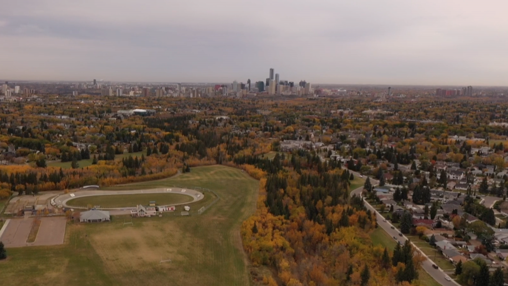
EDMONTON -- The abnormally warm temperatures will continue across the Edmonton region and most of the province right through the weekend and into early next week.
In Edmonton and area, afternoon highs were up around 20 degrees Thursday and we're expecting similar afternoon temperatures over the next 3 or 4 days.
Parts of east-central and NE Alberta will get one more day at or below average and then tap into the warmth.
That means areas like Lloydminster-Bonnyville will be in the low teens today and mid to upper teens Saturday.
Fort McMurray should be just above 10 today and then into the mid to upper teens this weekend.
More sun than cloud today and tomorrow in the Edmonton region and across north-central Alberta.
Great harvest conditions for the next few days across most of the province.
Precipitation Outlook:
Watch for a risk of some showers in north-central Alberta late Sunday. I'm skeptical, but it's a possibility.
I think the next best chance of showers/rain is late Wednesday/Thursday of next week.
HERE'S THE FORECAST FOR EDMONTON:
- Today - Mainly sunny.
- High: 19
- Tonight - Mostly clear.
- 9pm: 13
- Saturday - Mainly sunny.
- Morning Low: 4
- Afternoon High: 21
- Sunday - Mix of sun & cloud.
- Morning Low: 8
- Afternoon High: 20
- Monday - Mainly sunny.
- Morning Low: 8
- Afternoon High: 20
- Tuesday - Partly cloudy.
- Morning Low: 8
- Afternoon High: 19
- Wednesday - Mostly cloudy. 30% chance of late-day showers.
- Morning Low: 5
- Afternoon High: 16
