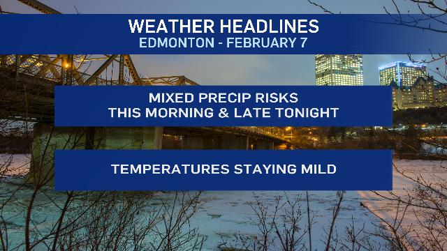
Josh Classen's forecast: Warm, with precipitation risks this morning and tonight

The warm spell continues through the rest of this week with daytime highs in the 0 to 5 C range.
So, it'll continue to get sloppy and melty through the afternoons.
AND...now we have a good chance of a couple shots of precipitation that may add to the mess.
A band of wet snow and some mixed precipitation develops north of the Edmonton area early this morning.
At 6:30 a.m., the band stretched from Edson east through to around Waskatenau.
We'll probably see a bit of that push through the city and surrounding areas prior to 9 a.m.
It doesn't look like anything heavy for the Edmonton region, but a bit of precipitation.
Further west, it looks like we have a pocket of slightly heavier snow around Edson/Niton Junction and just north of Highway 16.
That Edson/Whitecourt/Hinton/Grande Cache area is under a snowfall warning. BUT...that warning isn't for this morning's snow.
Another (more widespread) area of snow will move into western Alberta late this afternoon and tonight.
10-15 cm is likely by Wednesday morning.
Edmonton and area gets a bit of THAT snow tonight and early Wednesday morning.
Most of the snow will fall after midnight tonight and should be done by 8 a.m.'ish.
Wet snow could be mixed with some pockets of freezing rain and snowfall totals could vary widely based on precipitation type.
I'm going with a "2 to 5 cm likely" estimate in my forecast. But, realistically...anything between 1 and 10 cm is possible.
We'll see a few sunny breaks this afternoon and after tomorrow's morning precip, skies will clear.
THEN...Sun in the forecast Thursday and Friday.
Temperatures should continue to climb above 0 C in the afternoons this coming weekend.
AND... even the morning lows are mild. Thursday's the exception: temperatures near -10 C in the morning.
Aside from that, we're in the -2 to -6 C range for mornings all week and this coming weekend.
Looking LONG Range: We're expecting some cooler air to drop in sometime around the middle of next week.
At this point...it looks like highs will be somewhere in the -5 C to -10 C range for a few days.
Here's the forecast for Edmonton and area:
Today - Cloudy with a few flurries and/or mixed precipitation early this morning.
Risk of some pockets of freezing rain the Edmonton area.
Then...a Mix of sun & cloud for the afternoon.
High: 4
Tonight - Mostly cloudy. Snow beginning late this evening/overnight.
Slight risk of some freezing rain.
9pm: -1
Wednesday - Snow ending in the morning. 2 to 5 cm likely.
Clearing in the afternoon.
Morning Low: -1
Afternoon High: 2
Thursday - Mainly sunny.
Morning Low: -10
Afternoon High: 1
Friday - Mainly sunny.
Morning Low: -5
Afternoon High: 6
Saturday - Partly cloudy.
Morning Low: -3
Afternoon High: 3
Sunday - Partly cloudy.
Morning Low: -4
Afternoon High: 4

