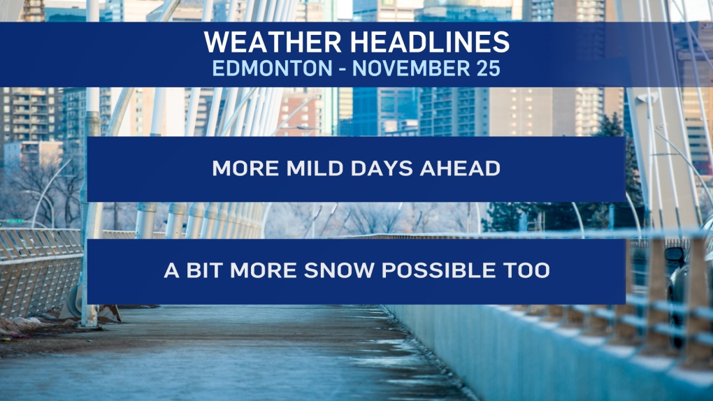
EDMONTON -- As a bit of wet snow fell overnight, temperatures stayed up in Edmonton.
The city's been in the 0 to -4 range all night and early this morning.
1-2 cm of snow accumulated in most of the region with some reports of rain and freezing rain in parts of central and north-central AB last night.
We'll see temperatures hold steady near the freezing mark through the first half of the day and then a bit of cooling this afternoon.
A trough of low pressure brings a chance of some more flurries/light snow to much of central and north-central AB.
Again, accumulation should be minimal.
Thursday's temperatures will slowly climb through the day AND beyond.
We're expecting to be slightly above zero in the afternoon and right through the evening hours.
Saturday should have a daytime high just above freezing too.
Long range: Highs in the +3 to -3 range look very likely for Sunday and next week.
HERE'S THE FORECAST FOR EDMONTON:
- Today - Mix of sun & cloud.
- Noon: -1
- 5pm: -3
- Tonight - Mostly cloudy. 40% chance of flurries overnight.
- 9pm: -5
- Thursday - Cloudy with a few sunny breaks.
- Morning Low: -8
- 4pm: 1
- 9pm: 2
- Friday - Mix of sun & cloud.
- Morning Low: -4
- Afternoon High: 2
- Saturday - Cloudy with a few sunny breaks.
- Morning Low: -4
- Afternoon High: 1
- Sunday - Mainly sunny.
- Morning Low: -10
- Afternoon High: -3
- Monday - Partly cloudy.
- Morning Low: -9
- Afternoon High: 2
