Snowfall WARNINGs have been issued for parts of west and NW Alberta.
10-20cm of snow is anticipated in the Jasper/Hinton-Grande Cache/Whitecourt-Edson regions.
That snowfall will be heaviest in higher elevation parts of that warning zone.
Snow will likely start accumulating later this morning and may not completely stop until Thursday afternoon.
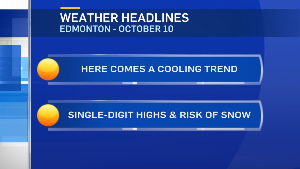
It appears that the Capital Region will get missed by most of the snow.
However, 2-6cm of snow IS possible.
We'll see some showers in the Edmonton area later today with a risk of rain turning to wet snow overnight.
Any precipitation in the Capital Region Wednesday will be either snow or a rain/snow mix.
Most roadways should see minimal accumulation. But, grassy areas may be snow-covered Wednesday.
Cooler air drops in for a few days. Daytime highs will be in the 2 to 5 degree range Wed/Thu/Fri.
Afternoon Highs should climb back into the 5 to 10 degree range for the weekend.
Here's the Edmonton forecast:
Today - Cloudy. 70% chance of showers or periods of rain starting later this afternoon.
High: 9
Evening - Cloudy. 80% chance of rain turning to snow overnight. 1-3cm possible.
9pm: 6
Wednesday - Cloudy. 70% chance of flurries. 1-2cm possible.
Temperature steady.
Morning Low: 2
Afternoon High: 3
Thursday - Mostly cloudy.
Morning Low: -3
Afternoon High: 4
Friday - Partly cloudy.
Morning Low: -4
Afternoon High: 4
Saturday - Mix of sun & cloud.
Morning Low: -1
Afternoon High: 6
Sunday - Partly cloudy.
Morning Low: 2
Afternoon High: 10
Advertisement
OCTOBER CHILL SETS IN - OCT 10
CTV Edmonton
Published Tuesday, October 10, 2017 7:59AM MDT
Published Tuesday, October 10, 2017 7:59AM MDT
