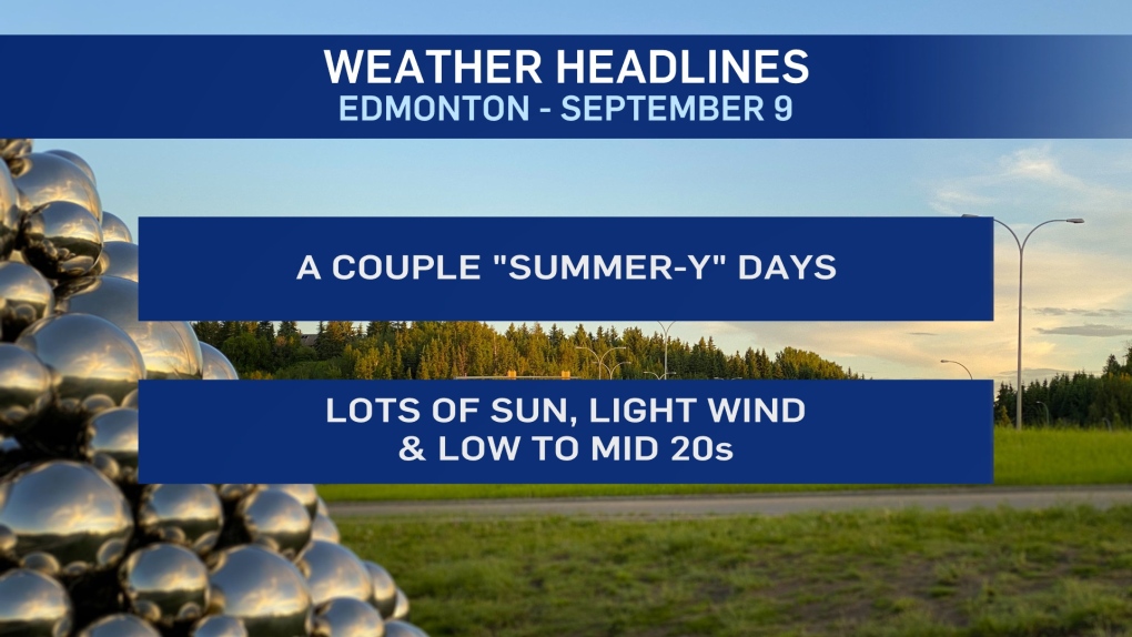
EDMONTON -- It'll only last for a couple days, but we're into an early September warm spell.
The average daytime high for the second week of September is 18.
We'll be five to eight degrees above average with highs in the low to mid 20s today and Thursday.
Light wind and more sun than cloud to go along with those warm temperatures.
Further north, we have a risk of some scattered showers from High Level across to the Fort McMurray region today.
Tomorrow, that same area has a good chance of some showers or steadier pockets of rain.
Not much chance of any significant precipitation in the Edmonton area over the next few days.
BUT...temperatures will drop back closer to average for Fri/Sat/Sun.
Early next week has the potential for an even bigger cooldown, at least for a couple of days.
So, we're not anticipating any frost in the area until maybe Wednesday of next week.
After that...the longer-range outlook has some warmer air returning towards the end of next week.
HERE'S THE FORECAST FOR EDMONTON:
- Today - Sunny with a few clouds.
- High: 23
- Tonight - Mainly clear overnight.
- 9pm: 16
- Thursday - Sunny with a few clouds.
- Morning Low: 10
- Afternoon High: 25
- Friday - Mix of sun & cloud.
- Morning Low: 11
- Afternoon High: 20
- Saturday - Partly cloudy.
- Morning Low: 6
- Afternoon High: 17
- Sunday - Mix of sun & cloud.
- Morning Low: 7
- Afternoon High: 19
- Monday - Mostly cloudy. 30% chance of a shower.
- Morning Low: 7
- Afternoon High: 14
