EDMONTON -- Temperatures should get a lot closer to average over the next few days after a chilly Wednesday that had afternoon temps in the -8 to -10 range.
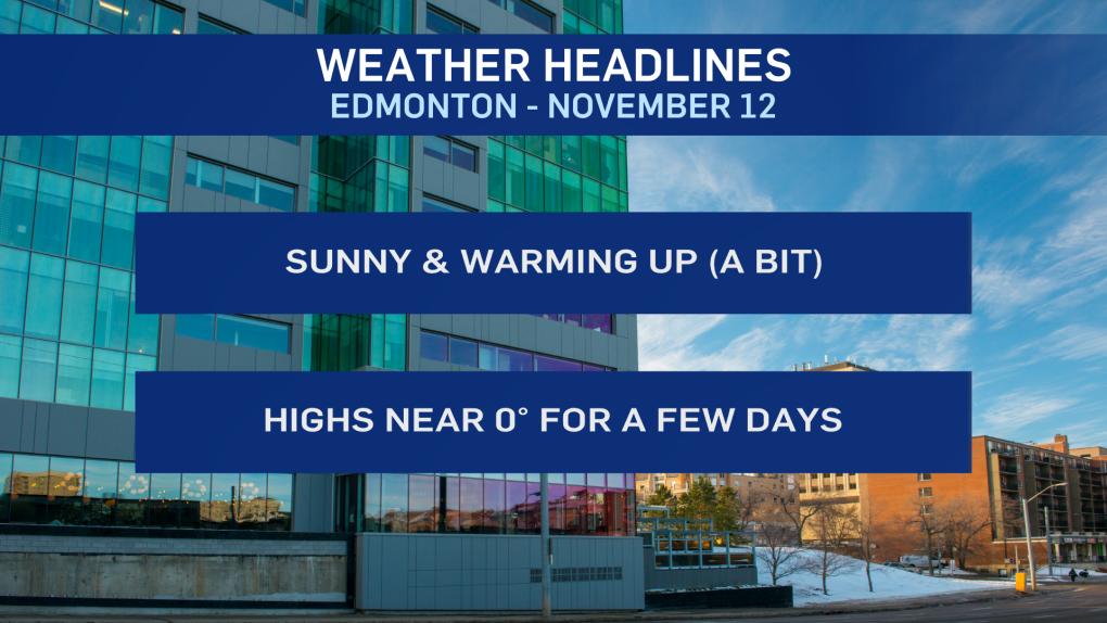
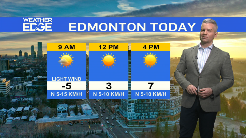
We'll get another day of sunny skies, and a warmer WSWerly flow will help boost temperatures into the 0 to -4 range for highs today, Friday and Saturday.
Wind is expected to be strong through parts of western Alberta.
But the Edmonton area is only expecting 10-15 km/h wind speeds through most of today.
No snow for the Edmonton region over the next few days.
There's a slight risk Saturday morning. But, the next best chance at getting some more accumulation looks to be late Tues or Wed next week.
The mountain parks and foothills will likely get some snow tonight and then again later on Friday.
Northern Alberta could also see some snow on Friday in the High Level and Fort McMurray regions.
The Peace Country could get a shot of snow Fri night/early Saturday.
Long range outlook has daytime highs near -5 for much of next week.
HERE'S THE FORECAST FOR EDMONTON:
- Today - Sunny with a few afternoon clouds. Wind: 10-15 km/h.
- High: -2
- Tonight - A few clouds.
- 9pm: -7
- Friday - Partly cloudy.
- Morning Low: -10
- Afternoon High: -2
- Saturday - Cloudy with a few sunny breaks.
- Morning Low: -10
- Afternoon High: -3
- Sunday - Mainly sunny.
- Morning Low: -11
- Afternoon High: -5
- Monday - Mix of sun & cloud.
- Morning Low: -13
- Afternoon High: -6
- Tuesday - Mostly cloudy.
- Morning Low: -8
- Afternoon High: -5
