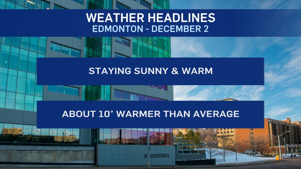
EDMONTON -- The sunny and warm weather isn't going anywhere anytime soon.
A strong Upper Ridge will dominate the weather pattern for the next few days and that means clear skies and temperatures well above average.
In fact, the next few days should be about 10 degrees warmer than average.
This isn't ALL that unusual though.
Both December 2015 and 2017 opened up with several days above the freezing mark.
2015 had an average high of 9 degrees through the first nine days.
2017 had an average high of 4 degrees through the first ten days. (in fact, if was above zero for 17 of the first 18 days of December that year)
Even last year had three above-zero days in the first week of December.
This year's average high through the first week of December should be 5 or 6 degrees.
There isn't a really STRONG sign of when this warm spell will break.
But, there are indications that somewhere around Tue/Wed of next week could be the turning point.
HERE'S THE FORECAST FOR EDMONTON:
- Today - Sunny.
- High: 5
- Tonight - Clear.
- 9pm: 1
- Thursday - Sunny with some evening clouds.
- Morning Low: -4
- Afternoon High: 5
- Friday - A few clouds in the morning. Sunny afternoon.
- Morning Low: -2
- Afternoon High: 7
- Saturday - Mainly sunny.
- Morning Low: -2
- Afternoon High: 5
- Sunday - Mainly sunny.
- Morning Low: -3
- Afternoon High: 5
- Monday - Partly cloudy.
- Morning Low: -3
- Afternoon High: 7


