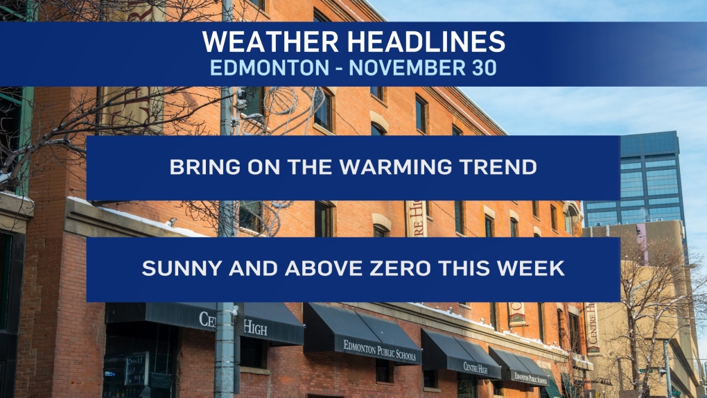
EDMONTON -- After hitting highs of zero and -3 in Edmonton this weekend, we'll jump back above zero today.
Temperatures should hit a high in the 2 to 6 degree range this afternoon with a mix of sun and cloud.
Wind will pick up this afternoon with gusts in the 50 to 60 km/h range tonight.
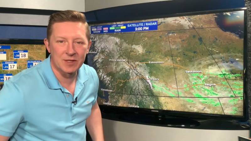
An Upper Ridge (bubble of warm air aloft) dominates the weather pattern over BC/AB/SK from Tuesday through Friday.
That'll mean clear skies and warm temperatures.
The question is: "How warm?"
There's been a lot of discussion about that and there's a wide range in model output and forecasts.
You may see some forecasts calling for temperatures near 10 degrees later this week.
While that's "possible", I think it's more likely that the Edmonton area will get daytime highs in the 2 to 7 degree range.
AND...I'm more comfortable putting my forecast daytime highs closer to the bottom of that scale than the top.
Two things are certain - we'll be above average through the first week of December AND it'll be awfully sloppy thanks to the daily melt from the sunny skies.
HERE'S THE FORECAST FOR EDMONTON:
- Today - Mix of sun & cloud. Wind picking up this afternoon.
- High: 4
- Tonight - Cloudy periods. Wind NW 30 gusting to 50 overnight.
- 9pm: 2
- Tuesday - Mainly sunny. Windy in the morning.
- Morning Low: -4
- Afternoon High: 1
- Wednesday - Mainly sunny.
- Morning Low: -5
- Afternoon High: 3
- Thursday - Mainly sunny.
- Morning Low: -4
- Afternoon High: 3
- Friday - Mainly sunny.
- Morning Low: -5
- Afternoon High: 4
- Saturday - Partly cloudy.
- Morning Low: -5
- Afternoon High: 4
