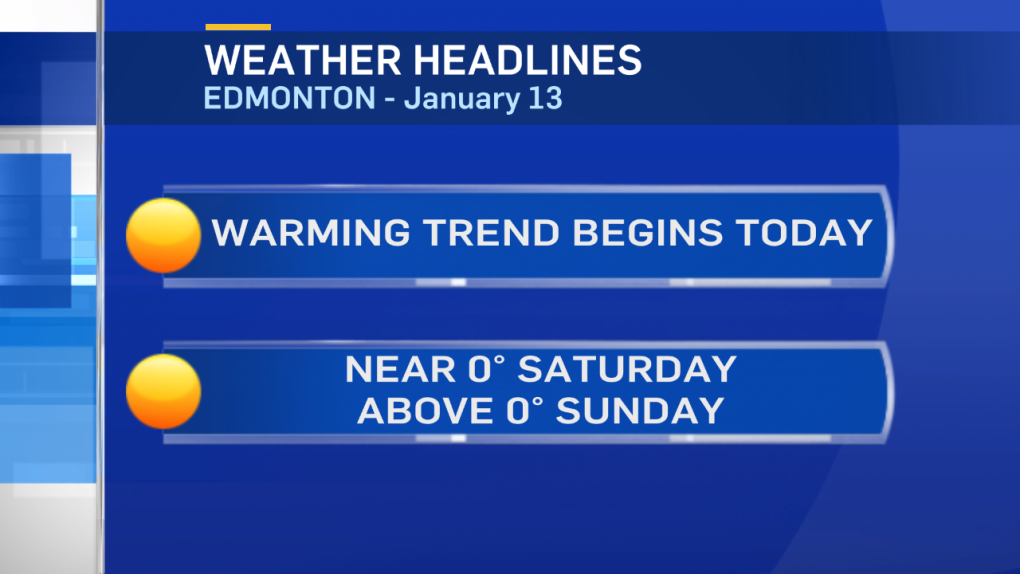
Edmonton's warmest temperature of 2017 (so far) is -5.1 Wednesday afternoon.
We haven't been above -5 since Dec 31 and haven't been above 0 since Dec 28.
We'll top both those markers over the next few days.
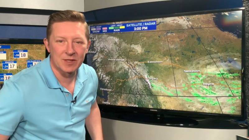
Warmer air is starting to push in from the WNW today.
Eastern Alberta will get another cold day (and then a warm-up this weekend), but in the Capital Region...it'll be the warmest day in weeks.
Yes, we had a high of -5 just two days ago. BUT...it didn't FEEL like -5 because of the howling wind.
Today's -5 will FEEL a whole lot warmer with sun & wind topping out in the 15-20 km/h range.
After today, temperatures climb to near 0 Saturday & above zero by a couple degrees Sunday.
Daytime highs look to settle into the 2 to 5 degree range most of next week.
PRECIPITATION outlook:
No sign of significant snowfall over the next few days. GEM model keeps most of Central & Northern Alberta dry through to at least the middle of next week.
GFS model has some precipitation Tuesday (risk of rain/freezing rain in NW Alberta & a chance of snow in the NE).
We'll watch to see how that situation develops over the next few days.
Here's the Edmonton forecast:
Today - Mainly sunny.
Wind: Light this morning. W 20km/h this afternoon.
High: -5
Tonight - Mainly clear.
Evening: -8
Saturday - Sunny in the morning. Partly cloudy in the afternoon..
Morning Low: -12
Afternoon High: -1
Sunday - Partly cloudy.
Morning Low: -4
Afternoon High: 2
Monday - Partly cloudy.
Morning Low: -2
Afternoon High: 5
Tuesday - Partly cloudy.
Morning Low: -1
Afternoon High: 3
Wednesday - Mix of sun & cloud.
Morning Low: -2
Afternoon High: 4
Advertisement
WARMING TREND BEGINS - JAN 13
CTV Edmonton
Published Friday, January 13, 2017 7:48AM MST
Published Friday, January 13, 2017 7:48AM MST
