Last Friday. That's the last time Edmonton was above 15 degrees.
We hit a high of 21 on Friday, May 12th.
Since then we've had highs of:
9 Sat / 10 Sun / 14 Mon / 13 Tue / 13 Wed
The average high for that period of 17 degrees.
BUT...that's all behind us.
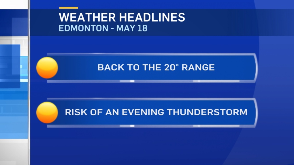
Warmer air moves in today and Edmonton gets close to 20.
Elsewhere - highs in the 15-20 degree range across most of central and northern Alberta.
The warming trend will continue as the Upper Trough retreats and a warm Upper Ridge builds in.
Daytime highs in Edmonton and much of central Alberta will climb into the 20 to 25 degree range for the long weekend and early next week.
PRECIPITATION:
Showers and thunderstorms will develop in NW and W Alberta this afternoon.
Those will track east towards the Capital Region this evening.
Edmonton's best chance for a shower or thunderstorm looks to be mid-evening.
But, we'll send out an update on that later today.
Here's the Edmonton forecast:
Today - Mix of sun & cloud. 20% chance of a shower or thunderstorm in the area late this afternoon.
High: 19
Tonight - Partly cloudy. 30% chance of a shower or thunderstorm this evening.
Evening: 15
Friday - Partly cloudy.
Morning Low: 7
Afternoon High: 21
Saturday - Partly cloudy.
Morning Low: 7
Afternoon High: 22
Sunday - Partly cloudy.
Morning Low: 8
Afternoon High: 22
Monday - Mainly sunny.
Morning Low: 8
Afternoon High: 23
Tuesday - Mainly sunny.
Morning Low: 9
Afternoon High: 25
Advertisement
WARMING TREND BEGINS - May 18
CTV Edmonton
Published Thursday, May 18, 2017 8:14AM MDT
Published Thursday, May 18, 2017 8:14AM MDT
