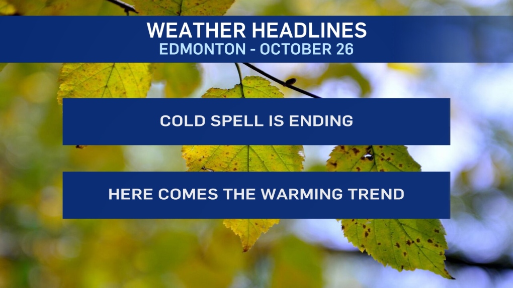
EDMONTON -- Get set for another big swing in temperature. Edmonton made it JUST above zero Sunday (high of 0.3)
We should be 2 or 3 degrees above the freezing mark today and then in the 5 to 10 degree range for highs the rest of the week/month.
We started this month with an average high of 13 degrees from Oct 1-15.
Since then, the average high has been -3!
But, we'll put that colder air behind us for a while starting this week.
Precip Outlook:
We'll have some snow turning over to rain in NW Alberta this afternoon.
The Edmonton region could see a bit of that tonight. Wet flurries initially and then a flip to rain.
Thankfully, temperatures will be rising overnight. So, most area won't have to deal with freezing rain.
We'll also get some showers in western AB on Tuesday with a risk of some late-day showers in the Edmonton area.
HERE'S THE FORECAST FOR EDMONTON:
- Today - Mix of sun & cloud. 30% chance of flurries late in the day.
- High: 2
- Tonight - Mostly cloudy. 40% chance of a few flurries and/or showers.
- 9pm: 0
- Temperature rising after midnight.
- Tuesday - Cloudy with sunny breaks. 30% chance of a late-day shower.
- Morning: 3
- Afternoon High: 10
- Wednesday - Mix of sun & cloud.
- Morning Low: -2
- Afternoon High: 6
- Thursday - Mostly cloudy.
- Morning Low: -2
- Afternoon High: 7
- Friday - Mostly cloudy. 30% chance of snow or rain.
- Morning Low: -1
- Afternoon High: 6
- Saturday - Mix of sun & cloud.
- Morning Low: -4
- Afternoon High: 7
