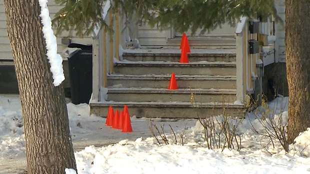
Move over fall. Winter is on the way.
That's the message from Environment and Climate Change Canada for most of Alberta, including the Edmonton area.
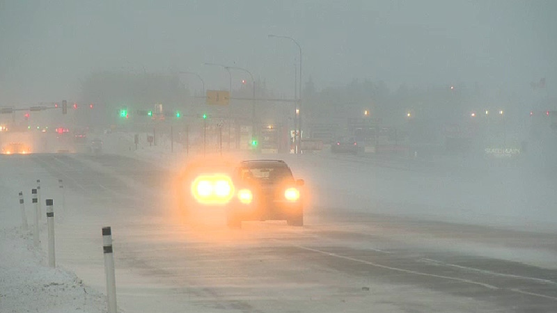
The pattern change will come Friday and bring with it winds of up to 90 kilometres an hour and "significant snow" for western and northern areas, according to Environment and Climate Change Canada meteorologist Dan Kulak.
"This is the beginning of the change," he said. "Fall is coming to an end pretty quick."
Kulak said starting this weekend temperatures will likely drop below seasonal averages after a decent October, weather-wise.
"We can have negative daytime highs in October for days on end. We haven't had those," he said. "The month as a whole so far has had a fair amount of warm days."
CTV Edmonton meteorologist Josh Classen said the drop in temperatures comes as a result of a ridge of warm pressure collapsing.
"At this time of year, that pattern often means snow risk," he said. "We'll have a better handle on snow totals and location Thursday. For now, Edmontonians should prepare for a significant cooldown this weekend and early next week."
While Thursday and Friday have expected daytime highs of 11 and 10 degrees, respectively, those will drop to 3 degrees Saturday and to a frigid 1 degree on Sunday.
Visit CTV News Edmonton's weather page for the latest forecast.
