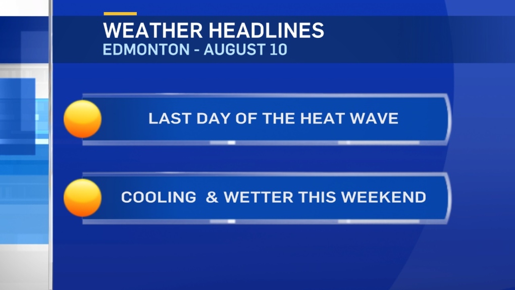
Edmonton will take a run at another record today.
Thursday's high of 34.5 beat the previous Aug 9th record high by a tenth of a degree.
It was also tied for the 7th-hottest day on record in Edmonton (with several other 34.5 degree days).
Today's record high is 33.5 (set in 1983). If the haze is as thin as it was yesterday, we have a shot at beating that.
After today, the whole pattern changes and we get a pretty dramatic cooldown for the weekend.
Daytime highs will slip into the low 20s across much of Central and Northern Alberta Saturday.
Showers & a few thunderstorms are possible in the foothills Saturday afternoon.
We'll probably get some precipitation in the Edmonton region Saturday evening.
Then...showers overnight and some showers or periods of rain are expected in or near Edmonton much of Sunday.
As a result, afternoon temperatures will likely only get to the mid to upper teens.
It's a short-lived cooldown though. Afternoon highs return to the mid 20s by Tue/Wed of next week.
Here's the Edmonton forecast:
Today - Mainly sunny & a bit hazy. Record: 33.5 - 1983
Air quality advisory in effect due to smoke from BC wildfires.
High: 33
Evening - A few clouds.
9pm: 28
Saturday - Mix of sun & cloud. 40% chance of showers in the evening & overnight.
Morning Low: 14
Afternoon High: 22
Sunday - Mostly cloudy. 70% chance of showers.
Morning Low: 11
Afternoon High: 17
Monday - Partly cloudy.
Morning Low: 10
Afternoon High: 23
Tuesday - Partly cloudy.
Morning Low: 13
Afternoon High: 26
Wednesday - Mainly sunny. Slight risk of a late-day shower.
Morning Low: 12
Afternoon High: 26
