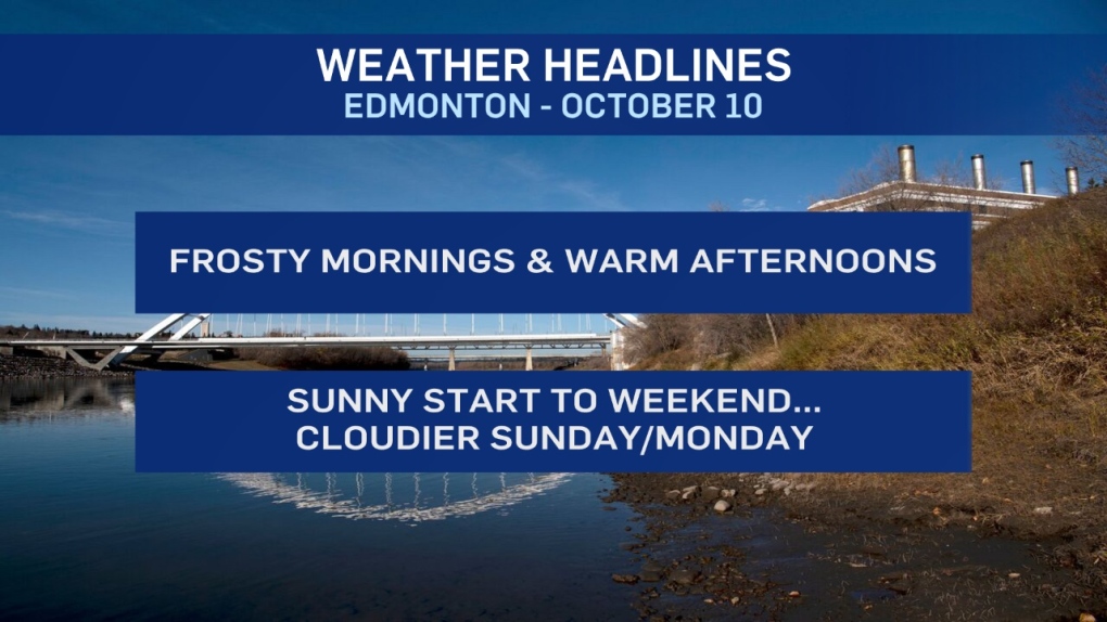
Temperatures slipped into the -5 to -10 range in the Edmonton area this morning.
In fact, there were a number of spots in central Alberta that hit double digits on the minus side.
Temperatures will climb into the PLUS 5 to 10 degree range this afternoon in central and northern Alberta.
The sun & light wind will feel nice this afternoon. But, those clear skies will give way to another cool morning Friday.
After Friday, the morning lows should moderate a bit and we'll only in the 0 to -5 range instead of -5 to -10.
Daytime highs get to about 10 on Friday/Saturday and then we get some increased cloudcover and a bit of a cooldown for Sun/Mon.
Snow will develop in the foothills and mountain parks on Sunday.
That precipitation will likely push east into the Edmonton/Red Deer regions late Sunday and then move into east-central Alberta Monday.
It'll probably start as showers Sunday evening and then transition to wet flurries overnight and into Monday morning.
Total precip doesn't look too significant (for areas outside the mountains).
But, the moisture certainly won't be welcome news for harvesting farmers.
Warmer, drier weather prevails from Tues-Fri of next week for most of the province.
Here's the forecast for Edmonton:
- Today - Sunny with a few clouds. Light wind.
- High: 7
- Evening - Mostly clear.
- 9pm: -2
- Friday - Mainly sunny.
- Morning Low: -6
- Afternoon High: 10
- Saturday - Sunny with afternoon clouds.
- Morning Low: -3
- Afternoon High: 10
- Sunday - Mostly cloudy. 40% chance of showers in the evening.
- Morning Low: -2
- Afternoon High: 7
- Monday - Cloudy with a 30% chance of flurries in the morning.
- Sunny breaks in the afternoon.
- Morning Low: -1
- Afternoon High: 6
- Tuesday - Mix of sun & cloud.
- Morning Low: -4
- Afternoon High: 8
