We're almost through the first week of December and the warm spell is showing no signs of ending soon.
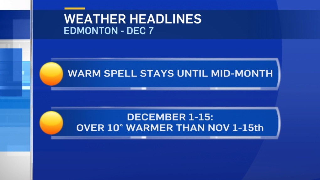
In fact, Edmonton will very likely get daytime highs above zero for every day until mid-month.
That would make this first half of December more than 10 degrees WARMER than the first half of November!
The average high for November 1st-15th: -6
The average high for December 1st-15th: +5 (forecast)
The 30-year average high for the first half of December is -3.
So, no big surprise...we're running well above average.
What about all the above-zero days?
Well...Edmonton has an average of 12 days above zero for the ENTIRE month of December.
We're on track to get 14 days above zero in the first HALF of the month!
That's the most of any year in the past 2 decades.
(2002 had 13 days above zero between Dec 1-15. But, that's the only other year even close)
More on those stats in a later post.
You can thank (or blame) a strong Upper Ridge for the warm and sunny weather over the next few days.
That ridge doesn't really break down until maybe the middle of next week.
Eventually, this warm spell will end. Right now, we're just not sure when that end will come.
That ridge collapse next week only looks like it'll bring temperatures back to around 0 for daytime highs.
(and...that's still warmer than average)
Until then...it's getting even warmer.
Edmonton hit a high of 2 degrees Wednesday and should be in the 5-10 degree range today/Fri/Sat/Sun.
Here's the Edmonton forecast:
Today - Mainly sunny.
High: 7
Evening - Mainly clear.
9pm: 0
Friday - Mainly sunny.
Morning Low: -2
Afternoon High: 7
Saturday - Partly cloudy.
Morning Low: -2
Afternoon High: 8
Sunday - Mix of sun & cloud.
Morning Low: -2
Afternoon High: 9
Monday - Partly cloudy.
Morning Low: -3
Afternoon High: 9
Tuesday - Partly cloudy.
Morning Low: -3
Afternoon High: 7
