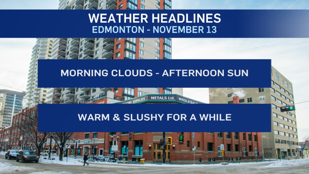
EDMONTON -- Warm air returned to the Edmonton region on Tuesday and it's (mostly) staying for the next 5-10 days.
Sure, there are a couple days with a high near zero - days like tomorrow and Tuesday or Wednesday of next week.
BUT...most of the next week-and-a-half will have afternoon highs in the 3 to 8 degree range.
And Sunday still looks like it has the potential to be a double-digit day.
Just like yesterday, I'll keep my Sunday forecast high on the conservative side for now. But, if this trend continues - I'll have to keep bumping it up.
As for precipitation - there's a chance of some scattered showers in the area late Friday.
But...no sign of a significant snowfall in the next two weeks.
We DO have some snow in the forecast for northern Alberta.
Flurries (maybe a centimetre or two accumulation) in the Fort McMurray regions over the next two days.
Areas from Peace River north to High Level get some flurries today and could pick up 5 to 10 cm Thursday.
Here's the forecast for Edmonton:
- Today – Cloudy this morning. Clearing this afternoon.
- High: 5
- Tonight - A few clouds.
- 9pm: -2
- Thursday - Mostly cloudy.
- Morning Low: -6
- Afternoon High: 0
- Friday - Mix of sun & cloud. 30% chance of a late-day shower.
- Morning Low: -7
- Afternoon High: 4
- Saturday - Mainly sunny.
- Morning Low: 1
- Afternoon High: 4
- Sunday - Partly cloudy.
- Morning Low: 0
- Afternoon High: 7
- Monday - Partly cloudy.
- Morning Low: -1
- Afternoon High: 4
