EDMONTON -- The wind died down and skies were clear enough to check out the supermoon in the Edmonton area last night.
Elsewhere... east-central Alberta will keep the gusty conditions for most of today and flurries continue to fall in parts of the NE this morning.
Those flurries should taper off later today. THEN another low pressure system drives across northern AB Thursday and brings back the snow risk.
For some areas, it'll be light snow. Other spots in the north could get some mixed precipitation.
Edmonton and area heats up to the south of that Thursday low pressure system.
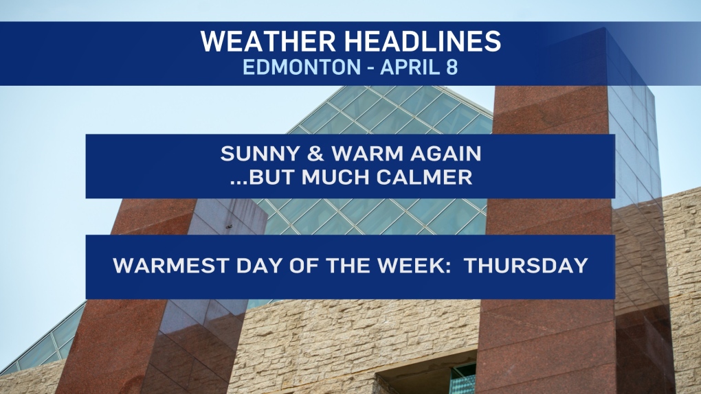
We'll be around 5 degrees with sun today. Clouds spill in Thursday, but we get our warmest day of the week.
Temperatures should get to the 7 to 10 degree range. It's our best shot at hitting double-digits in a LONG time.
That warmth won't last though. As the northern low moves east, we get a cooler northerly flow taking over.
Temperatures will be just above zero Friday and then we slip back to a high of -2 of -3 Saturday.
Easter Sunday still looks to be around zero.
AND... I've taken the risk of flurries OUT of the Sunday forecast. There's still an outside chance. But it looks less likely today than yesterday and not worth including.
Long range - temperatures climb back to highs above zero (maybe even the 10 degree range) next week.
HERE'S THE FORECAST FOR EDMONTON:
- Today – Sunny this morning. A few clouds this afternoon.
- Light wind.
- High: 5
- Tonight - Partly cloudy in the evening and overnight.
- 9pm: -1
- Thursday - Mix of sun & cloud.
- Morning Low: -6
- Afternoon High: 8
- Friday - Partly cloudy.
- Morning Low: -3
- Afternoon High: 3
- Saturday - Partly cloudy.
- Morning Low: -8
- Afternoon High: -2
- Sunday - Mix of sun & cloud.
- Morning Low: -11
- Afternoon High: 0
- Monday - Partly cloudy.
- Morning Low: -10
- Afternoon High: 2
