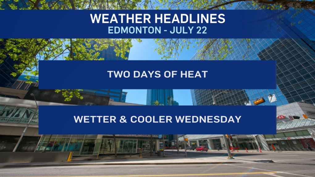
Sunny and afternoon temperatures will near 30 C today and Tuesday. Soak it up, because we're back to some wetter, cooler weather Wednesday.
These two days are the hottest back-to-back days since May 28 and 29, when Edmonton hit 28 and 31 degrees.
Since then...we had one 28-degree day on June 1.
In July, only four days so far have been above 25 degrees and the monthly high (so far) is 27 degrees on the 12th.
A ridge of high pressure will build over the province today and tomorrow.
Environment Canada has issued heat warnings for areas from Edmonton north to High Level and east to Lloydminster.
Southeast Alberta is also under a heat warning.
Given the summer we've had, you might be rolling your eyes at a Heat "WARNING." BUT... young children, seniors and people with health issues are vulnerable to heat stroke or heat exhaustion.
If you like the heat and feel "ripped off" by summer so far, get outside! Sun screen, hydration and some occasional shade will help you make the most of the day.
The ridge collapses and we get a risk of thunderstorms late Tuesday night. THEN... back to some rain and a high in the 17-20 degree range Wednesday.
Temperatures rebound to Highs in the low to mid 20s for Friday and the weekend.
Here's the forecast for Edmonton:
Today - Mainly sunny.
- High: 28
- Evening - Clear.
- 9pm: 22
Tuesday - Mainly sunny.
- Morning Low: 15
- Afternoon High: 30
- 40% chance of scattered thunderstorms late in the evening and/or overnight.
Wednesday - Mostly cloudy. 60% chance of showers or periods of rain.
- Windy.
- Morning Low: 16
- Afternoon High: 19
Thursday - Cloudy in the morning. Clearing in the afternoon.
- Windy.
- Morning Low: 13
- Afternoon High: 20
Friday - Mainly sunny.
- Morning Low: 11
- Afternoon High: 26
Saturday - Partly cloudy.
- Morning Low: 14
- Afternoon High: 22
