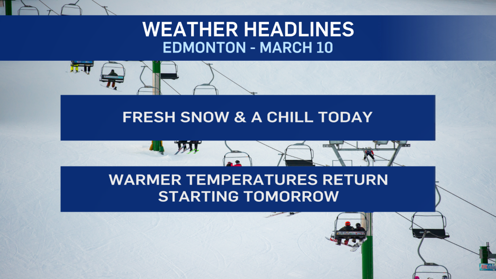
EDMONTON -- There were reports of snowfall -- from a dusting in Sherwood Park to 10 cm of snow north of Stony Plain -- overnight Tuesday.
It appears all of the area woke up to some fresh snow on the ground this morning.
How MUCH snow depends on your area and varies widely.
No matter where you are, it won't start melting today. But, it WILL be mostly gone by the weekend.
Temperatures will stay below zero today with an afternoon high in the -5 C range.
Wind chill is in the mid-minus teens across much of north-central Alberta this morning thanks to some gusty wind.
Gusts in the 30-40 km/h range will continue in the Edmonton area through midday.
Calmer conditions and some sunny breaks are expected this afternoon.
Temperatures drop into the mid minus teens (without wind chill) Thursday morning.
BUT, we'll warm up through the afternoon under sunny skies. Temperatures should sneak 2 or 3 degrees above freezing.
A developing upper ridge helps boost temperatures into the 5 to 10 C range for Friday and Saturday in Edmonton and area and it'll stay sunny.
The Sunday forecast and beyond has a high degree of uncertainty. For now, it looks like we'll still be warm on Sunday and Monday.
But...just 24 hours ago...snow looked possible with plummeting temperatures.
Don't place too much faith in that Sun/Mon/Tue forecast just yet.
Here's the forecast for Edmonton:
Today - Cloudy & windy this morning. Clearing this afternoon.
Wind: NW 20 gusting to 40 in the morning, becoming N 5-10 this afternoon.
High: -5
Tonight - A few clouds.
9pm: -10
Thursday - Mainly sunny.
Morning Low: -14
Afternoon High: 3
Friday - Mainly sunny.
Morning Low: -6
Afternoon High: 7
Saturday - Mainly sunny.
Morning Low: -4
Afternoon High: 7
Daylight Saving Time starts - clocks "spring forward" one hour
Sunday - Partly cloudy.
Morning Low: -3
Afternoon High: 6
Monday - Mostly cloudy. 30% chance of flurries.
Morning Low: -5
Afternoon High: 2
