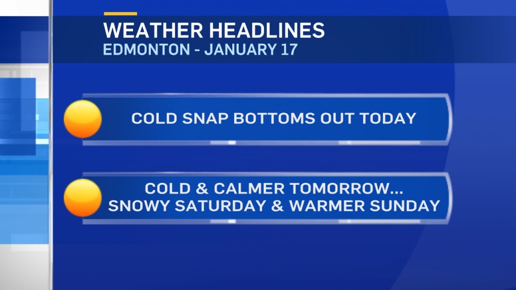
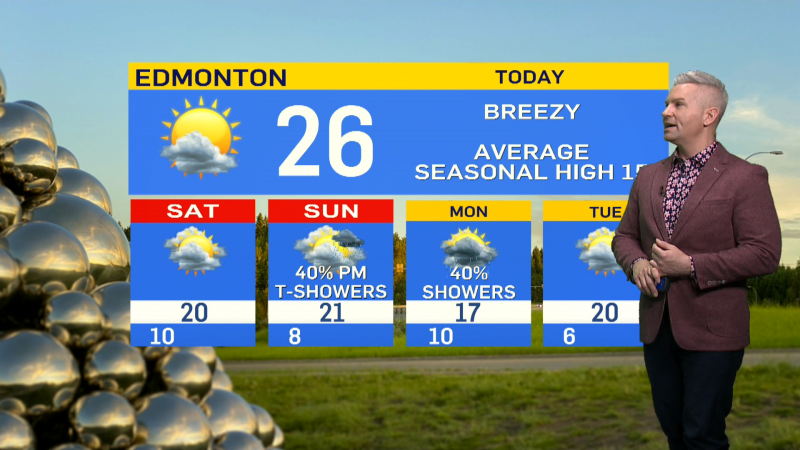
Today will likely be the COLDEST day of the cold snap for Edmonton.
Temperatures will stay below -15 all day AND the wind will pick up a bit.
15-20km/h wind should give wind chills in the -25 to -30 range for most (if not all) of the day.
Frostbite is possible in 10-30min and there's a risk of hypothermia if you spend TOO long outside and aren't dressed warmly.
Further east and northeast...it's even colder.
Fort McMurray has had wind chills in the -40s all morning and temperatures in the -30s.
In those conditions, frostbite is possible in 5-10min and there's a very high risk of hypothermia if you're outdoors for hours without proper winter clothing.
Not much warming is expected later today and tomorrow could be similar.
Edmonton gets another cold day Friday with a high near -15. BUT...the wind should be calmer Friday.
Milder air pushes into western Alberta this weekend and Edmonton jumps into the 0 to -5 range by Sunday.
PRECIP Outlook:
Edmonton and area has a chance of flurries today and Friday.
2 to 5cm of snow is possible in the region on Saturday.
