Farewell Winter & Hello Spring!
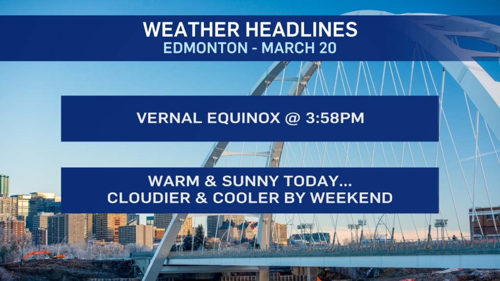
The Vernal (spring) Equinox is at 3:58pm. That's the time when the midpoint of the sun will be over the equator.
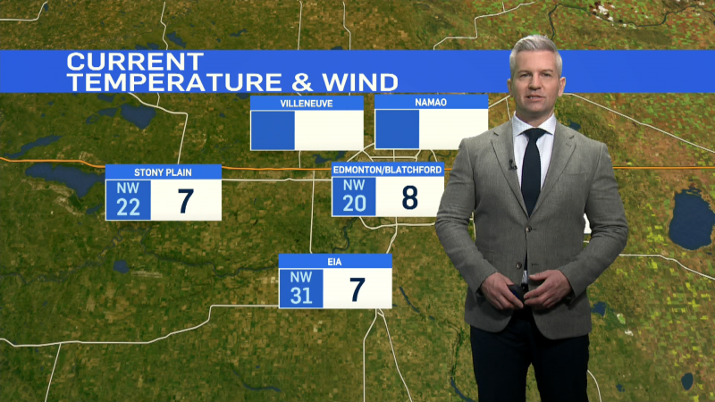
It'll be a warm start to spring with temperatures in the mid teens today.
But, we're looking at a slight cooling trend over the next few days.
We'll still be in the double digits Thu/Fri.
But, we'll get some clouds and a chance of mixed precipitation this weekend.
Daytime highs could be anywhere from 5 to 10 degrees depending on a number of factors.
Next week - Highs looks like they'll be in the 7 to 12 degree range.
Precipitation Outlook:
Rain and/or snow is possible in the Edmonton region Sat/Sun.
The best bet for snow (possibly heavy snow) is further south around Calgary Saturday and then spreading east Sunday.
For now - it appears most (maybe all) of that stays south of Edmonton.
Here's the forecast for Edmonton:
Today - Mainly sunny.
High: 15
Evening - Mostly clear.
9pm: 6
Thursday - Mainly sunny.
Morning Low: -2
Afternoon High: 12
Friday - Partly cloudy.
Morning Low: -1
Afternoon High: 10
Saturday - Mostly cloudy. 30% chance of rain/snow mix.
Morning Low: -1
Afternoon High: 9
Sunday - Mostly cloudy. 30% chance of flurries.
Morning Low: 0
Afternoon High: 8
Monday - Mix of sun & cloud.
Morning Low: -1
Afternoon High: 9
