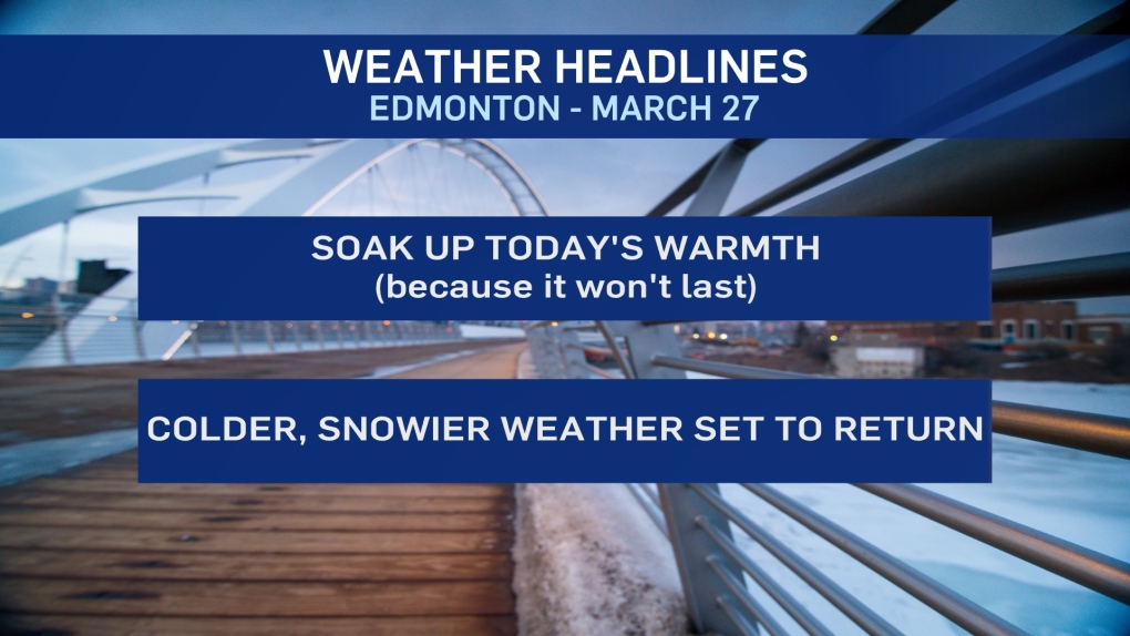
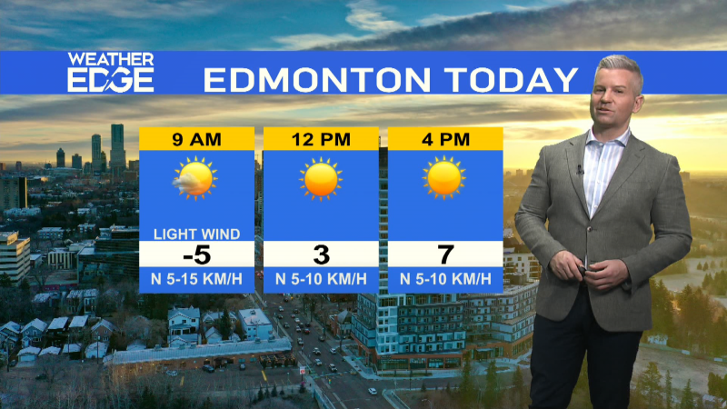
EDMONTON -- One more warm day in Edmonton today and then we're right back to temperatures WELL below average.
Colder air is set to start spilling in from the north this weekend and it's now very likely that it will stick around all next week.
And then there's the snow. 10-20 cm of snow will hit the Peace Country and Slave Lake regions by the end of Sunday.
Further east - areas from Lac La Biche north to Fort McMurray will get 5-10 cm.
Edmonton and area has the potential for a bit of mixed precipitation today.
Flurries or light snow are possible Saturday and Sunday.
It doesn't look like the city's in line to get any significant accumulation until MAYBE Mon/Tue.
So, keep an eye on that part of the forecast through the weekend.
Yesterday, we said we knew it would be below average next week but that we were questioning, "HOW far below average?".
We still don't have an EXACT answer. However, highs near -5 (maybe even colder) are looking likely for at least a few days.
There are signs we'll pull out of the coldest air and get a bit of warming towards the end of next week.
HERE'S THE FORECAST FOR EDMONTON:
- Today – Mix of sun & cloud.
- High: 6
- Tonight - 30% chance of some mixed precipitation in the area early this evening.
- Cloudy overnight.
- 9pm: -1
- Saturday - Mostly cloudy. 60% chance of flurries, especially in the morning.
- Morning Low: -6
- Afternoon High: -3
- Sunday - Cloudy. 40% chance of flurries.
- Morning Low: -6
- Afternoon High: -1
- Monday - Cloudy. 60% chance of flurries or snow.
- Morning Low: -7
- Afternoon High: -5
- Tuesday - Mostly cloudy. 60% chance of flurries or snow.
- Morning Low: -12
- Afternoon High: -5
- Wednesday - Mix of sun & cloud.
- Morning Low: -13
- Afternoon High: -6
